Revell Grange, Sheffield
Map

Gallery

Facts and practical information
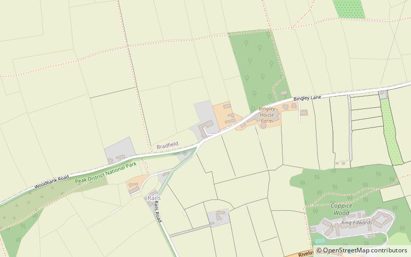
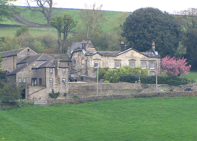
Revell Grange is a Grade II listed English country house situated on Bingley Lane in the suburb of Stannington overlooking the Rivelin valley within the City of Sheffield, England. The house played an important role as a focal point of early Catholicism within the city and still houses a private chapel to this day. ()
Coordinates: 53°23'9"N, 1°33'47"W
Address
Sheffield
ContactAdd
Social media
Add
Day trips
Revell Grange – popular in the area (distance from the attraction)
Nearby attractions include: Christ Church, Underbank Chapel, Rivelin Rocks, Little Matlock Rolling Mill.
Frequently Asked Questions (FAQ)
Which popular attractions are close to Revell Grange?
Nearby attractions include Underbank Chapel, Sheffield (17 min walk), Christ Church, Sheffield (20 min walk), Rivelin Rocks, Peak District (21 min walk).
How to get to Revell Grange by public transport?
The nearest stations to Revell Grange:
Bus
Bus
- Manchester Road/Rails Road • Lines: 257 (9 min walk)


