Andle Stone, Peak District
Map

Map

Facts and practical information
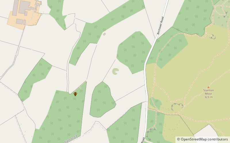
The Andle Stone is a large boulder on Stanton Moor in Derbyshire. The stone is fifteen feet long and covered in cup and ring marks. It is also known as the Oundle Stone, the Anvil Stone or the Towopenny Loaf. ()
Coordinates: 53°9'49"N, 1°38'31"W
Day trips
Andle Stone – popular in the area (distance from the attraction)
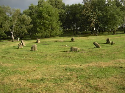
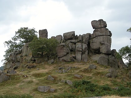
Nearby attractions include: Nine Ladies, Robin Hood's Stride, St Michael's Church, Doll Tor.
Frequently Asked Questions (FAQ)
Which popular attractions are close to Andle Stone?
Nearby attractions include Doll Tor, Peak District (2 min walk), Stanton Moor, Peak District (13 min walk), St Michael's Church, Peak District (16 min walk), Nine Ladies, Bakewell (17 min walk).


