St Michael's Church, Peak District
Map

Map

Facts and practical information
St Michael's Church, Birchover, also known as Rowtor Chapel, is a Grade II listed parish church in the Church of England in Birchover, Derbyshire. Located in the Peak District National Park, St Michael was built as a privately endowed chapel for the nearby Rowtor Hall. ()
Coordinates: 53°9'20"N, 1°38'56"W
Address
Peak District
ContactAdd
Social media
Add
Day trips
St Michael's Church – popular in the area (distance from the attraction)
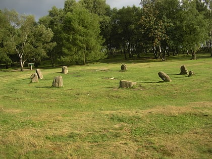
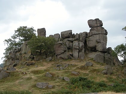
Nearby attractions include: Nine Ladies, St John the Baptist's Church, Robin Hood's Stride, Winster Market House.
Frequently Asked Questions (FAQ)
Which popular attractions are close to St Michael's Church?
Nearby attractions include Doll Tor, Peak District (14 min walk), Andle Stone, Peak District (16 min walk), Robin Hood's Stride, Bakewell (19 min walk), Nine Stones Close, Peak District (19 min walk).


