Bentley Canal, Walsall
Map

Map

Facts and practical information
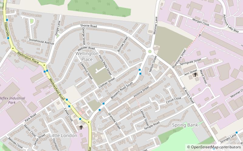
The Bentley Canal is an abandoned canal that was part of the Birmingham Canal Navigations. A very short section still exists where it joins the Wyrley and Essington Canal in Wolverhampton. From there it headed generally southeast through Willenhall and Walsall and connected with the Anson Branch and thus the Walsall Canal. The main line opened in 1843, with the Neachell Hall Branch following two years later. The branch closed in 1953 and the main line in the early 1960s. ()
Coordinates: 52°35'30"N, 2°3'16"W
Address
Walsall (Willenhall South)Walsall
ContactAdd
Social media
Add
Day trips
Bentley Canal – popular in the area (distance from the attraction)
Nearby attractions include: Memorial Clock, Wednesfield, St Giles Church, St Thomas' Church.
Frequently Asked Questions (FAQ)
Which popular attractions are close to Bentley Canal?
Nearby attractions include Memorial Clock, Walsall (15 min walk), St Giles Church, Walsall (15 min walk), Willenhall Lock Museum, Walsall (16 min walk), Willenhall Library, Walsall (16 min walk).
How to get to Bentley Canal by public transport?
The nearest stations to Bentley Canal:
Bus
Bus
- Wednesfield Rd / Bull Ring • Lines: 25, 703 (5 min walk)
- Wellington Pl / Thorne Rd • Lines: 25, 703 (6 min walk)


