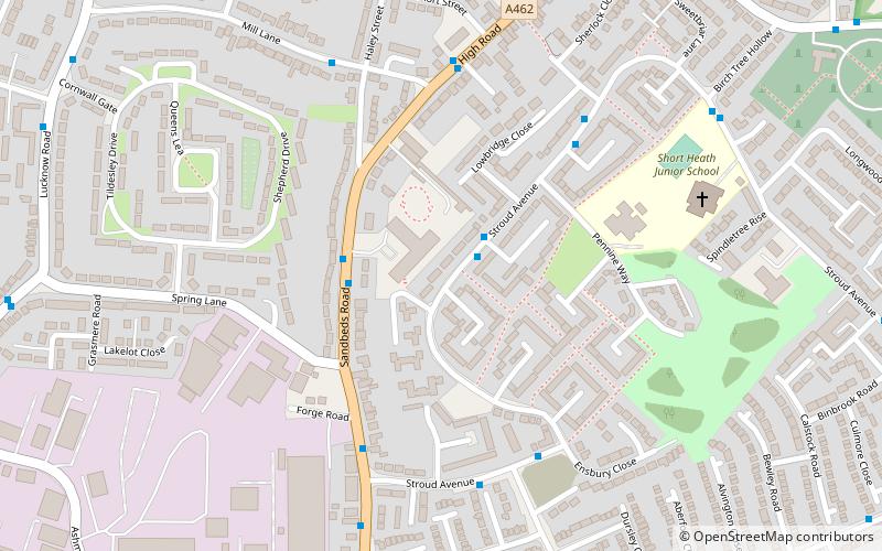
Willenhall, Walsall
Map

Map

Facts and practical information
Willenhall is a market town situated in the Metropolitan Borough of Walsall, in the West Midlands, England, with a population taken at the 2011 census of 28,480. It is situated between Wolverhampton and Walsall, historically in the county of Staffordshire. It lies upon the River Tame, and is part of the Black Country. ()
Address
Walsall (Short Heath)Walsall
ContactAdd
Social media
Add
Day trips
Willenhall – popular in the area (distance from the attraction)
Nearby attractions include: Memorial Clock, Bentley Canal, Rough Wood, St Giles Church.
Frequently Asked Questions (FAQ)
Which popular attractions are close to Willenhall?
Nearby attractions include Short Heath, Walsall (17 min walk), Bentley Canal, Walsall (19 min walk), Rough Wood, Walsall (20 min walk).
How to get to Willenhall by public transport?
The nearest stations to Willenhall:
Bus
Bus
- Sandbeds Rd / Winehala Court • Lines: 326 (2 min walk)
- Stroud Ave / Ensbury Close • Lines: 700 (5 min walk)


