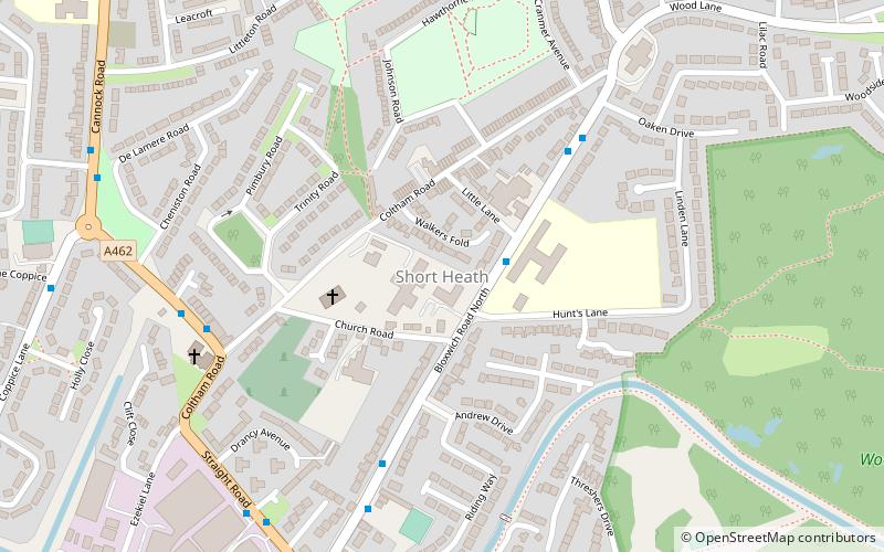
Short Heath, Walsall
Map

Map

Facts and practical information
Short Heath is a village situated north of the market town of Willenhall, in the Metropolitan Borough of Walsall, West Midlands, England. Short Heath is a ward in the Walsall North constituency, and is bordered by the neighbouring wards of Bentley and Darlaston North, Birchills Leamore, Willenhall North, and Willenhall South. ()
Coordinates: 52°36'22"N, 2°2'3"W
Address
Walsall (Short Heath)Walsall
ContactAdd
Social media
Add
Day trips
Short Heath – popular in the area (distance from the attraction)
Nearby attractions include: Bentley Canal, Rough Wood, Willenhall, Emmanuel Church.
Frequently Asked Questions (FAQ)
Which popular attractions are close to Short Heath?
Nearby attractions include Rough Wood, Walsall (12 min walk), New Invention Library, Walsall (13 min walk), Willenhall, Walsall (17 min walk).
How to get to Short Heath by public transport?
The nearest stations to Short Heath:
Bus
Train
Bus
- Bloxwich Road North / Short Heath Clinic • Lines: 69, 701 (2 min walk)
- Wesley Rd / Coltham Rd • Lines: 326 (6 min walk)
Train
- Bloxwich (33 min walk)


