Islington Mill, Manchester
Map
Facts and practical information
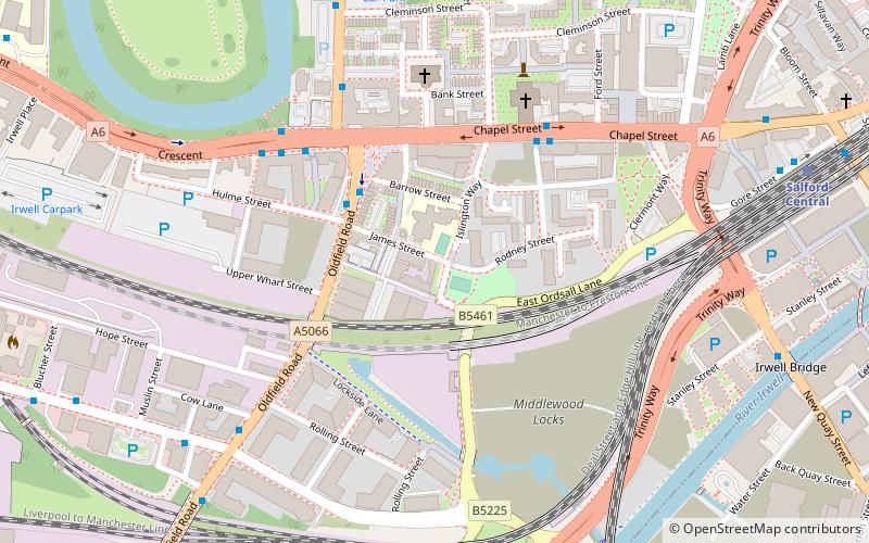
Islington Mill is a six-storey Georgian mill building, located at 1 James Street, Ordsall, Salford, England. The name 'Islington Mill' is commonly used to refer to the wider collection of nineteenth and early twentieth century buildings that reside at this location, and to the Islington Mill Arts Club, which occupies those buildings. ()
Coordinates: 53°28'54"N, 2°15'46"W
Getting there by public transportation
Public transportation stops near this location
- Bus
- Tram
- Train
 Bus
Bus
- Calculate routeChapel Street/Salford Cathedral 4 min walk
- Calculate routeCrescent/Oldfield Road 5 min walk
- Calculate routeOldfield Road/Liverpool Street 6 min walk
- Calculate routeLiverpool Street/Whitehouse Hotel 7 min walk
- Calculate routeSalford Central 8 min walk
- Calculate routeSalford Crescent 16 min walk
- Calculate routeDeansgate 19 min walk
- Calculate routeManchester Victoria 25 min walk
- Calculate routeDeansgate-Castlefield 18 min walk
- Calculate routeCornbrook 21 min walk
- Calculate routeSt. Peter's Square 22 min walk
- Calculate routeExchange Square 22 min walk
Maps MetrolinkMaps
 Metrolink / Rail
MetrolinkMapsMetrolink / RailDay trips


Frequently Asked Questions (FAQ)
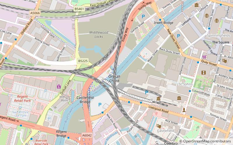
Which popular attractions are close to Islington Mill?
Nearby attractions include Salford Cathedral, Manchester (4 min walk), St Philip's Church, Manchester (5 min walk), Salford Town Hall, Manchester (6 min walk), Ordsall Chord, Manchester (7 min walk).
How to get to Islington Mill by public transport?
The nearest stations to Islington Mill:
Bus
Train
Tram
Bus
- Chapel Street/Salford Cathedral • Lines: 50 (4 min walk)
- Crescent/Oldfield Road • Lines: 50 (5 min walk)
Train
- Salford Central (8 min walk)
- Salford Crescent (16 min walk)
Tram
- Deansgate-Castlefield • Lines: Airp, Altr, Asht, Bury, Dean, Eccl, EDid, Mcuk, Picc, Roch, Shaw, Vict (18 min walk)
- Cornbrook • Lines: Airp, Altr, Asht, Bury, Corn, Dean, Eccl, EDid, Mcuk, Picc, Roch, Shaw, TrfC, Vict (21 min walk)