St John's Gardens, Manchester
Map

Map

Facts and practical information
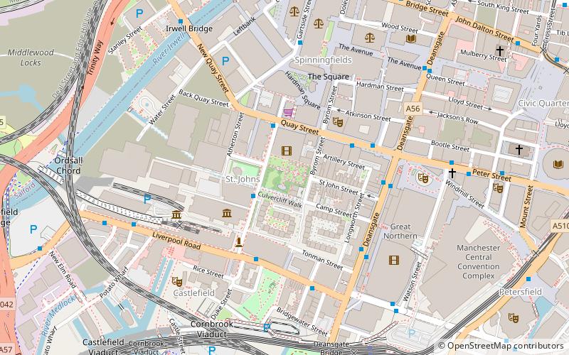
St John's Gardens in central Manchester, England, lies between Lower Byrom Street, Byrom Street and Quay Street. Previously occupied by St John's Church and its graveyard between 1769 and 1931, the site was redeveloped into a formal garden in 1932. It contains a central memorial to the church and those buried in its graveyard, whose tombstones have been covered over by 18 inches of soil except for that of John Owens, founder of Owen's College. ()
Elevation: 121 ft a.s.l.Coordinates: 53°28'40"N, 2°15'11"W
Day trips
St John's Gardens – popular in the area (distance from the attraction)
Nearby attractions include: Deansgate, Museum of Science and Industry, Quay Street, Mamucium.
Frequently Asked Questions (FAQ)
Which popular attractions are close to St John's Gardens?
Nearby attractions include St John's Church, Manchester (1 min walk), Quay Street, Manchester (2 min walk), Manchester Opera House, Manchester (3 min walk), Granada Studios, Manchester (3 min walk).
How to get to St John's Gardens by public transport?
The nearest stations to St John's Gardens:
Bus
Tram
Train
Bus
- Lower Byrom Street/Quay Street • Lines: 2 (peak) (2 min walk)
- Quay Street/Deansgate • Lines: 2, 2 (peak) (3 min walk)
Tram
- Deansgate-Castlefield • Lines: Airp, Altr, Asht, Bury, Dean, Eccl, EDid, Mcuk, Picc, Roch, Shaw, Vict (7 min walk)
- St. Peter's Square • Lines: Airp, Altr, Asht, Bury, Eccl, EDid, Mcuk, Picc, Roch, Shaw, Vict (11 min walk)
Train
- Deansgate (7 min walk)
- Salford Central (10 min walk)

 Metrolink
 Metrolink / Rail


