Barton's Point Coastal Park, Sheerness

Gallery (1)
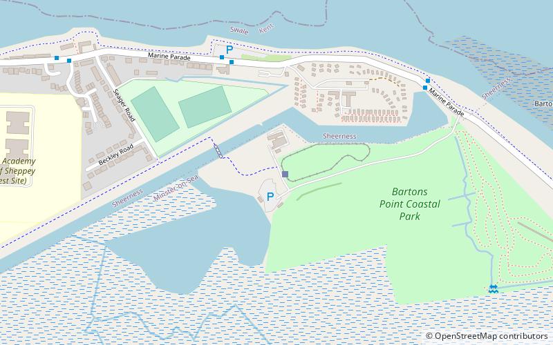
Map
Map
Facts and practical information
Barton's Point Coastal Park is on the Isle of Sheppey, in Kent, England. It lies between Minster and Sheerness. Within the park is a former military ditch/canal from Marine Parade heading south-westerly towards West Minster. ()
Created: 1971Elevation: 3 ft a.s.l.Coordinates: 51°26'16"N, 0°47'6"E
Day trips


