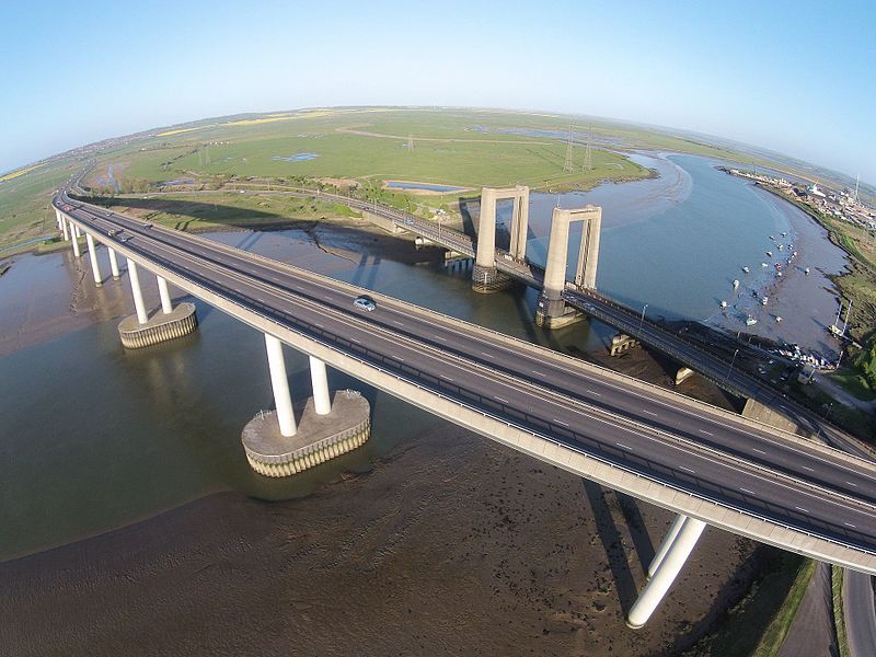
Sheppey Crossing, Isle of Sheppey
Map

Gallery

Facts and practical information
The Sheppey Crossing is a bridge which carries the A249 road across The Swale, linking the Isle of Sheppey with the mainland of Kent. The four-lane crossing measures 21.5 m in width, at a height of 35 m over the water. The A249 links the M20 and M2 motorways to Sheppey. The bridge opened in 2006, and it provides an alternative highway to the neighbouring Kingsferry Bridge that was completed in 1959. ()
Opened: 3 July 2006 (19 years ago)Coordinates: 51°23'35"N, 0°45'8"E
Address
Isle of Sheppey
ContactAdd
Social media
Add
Day trips
Sheppey Crossing – popular in the area (distance from the attraction)
Nearby attractions include: The Forum Shopping Centre, Garrison Point Fort, Grain Tower, Kingsferry Bridge.


