Kingsferry Bridge

Gallery (2)
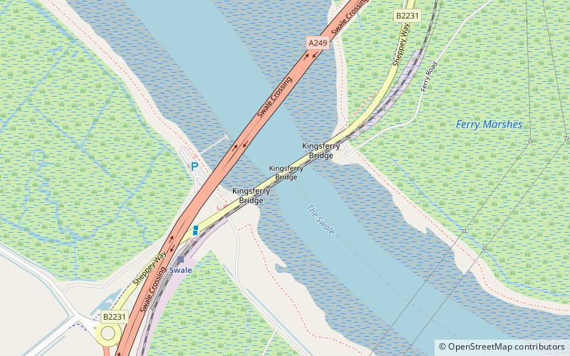
Map
Map
Gallery
Facts and practical information
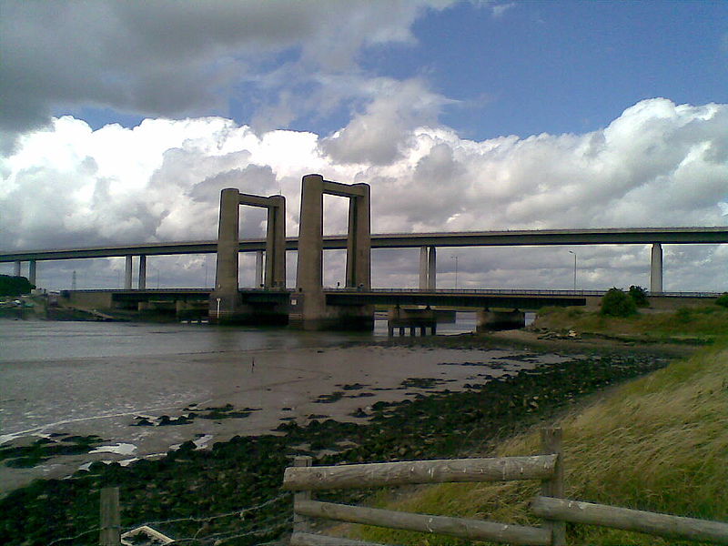
The Kingsferry Bridge is a combined road and railway vertical-lift bridge which connects the Isle of Sheppey to mainland Kent in South East England. The seven-span bridge has a central lifting span which allows for ships to pass. ()
Opened: 20 October 1960 (65 years ago)Width: 50 ftCoordinates: 51°23'26"N, 0°44'60"E
Day trips


