St John the Baptist's Church, Peak District

Gallery (1)
Map
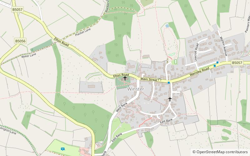
Map
Facts and practical information
St John the Baptist's Church, Winster is a Grade II listed parish church in the Church of England in Winster, Derbyshire. ()
Coordinates: 53°8'30"N, 1°38'36"W
Day trips