Borough of Guildford, Guildford

Gallery (1)
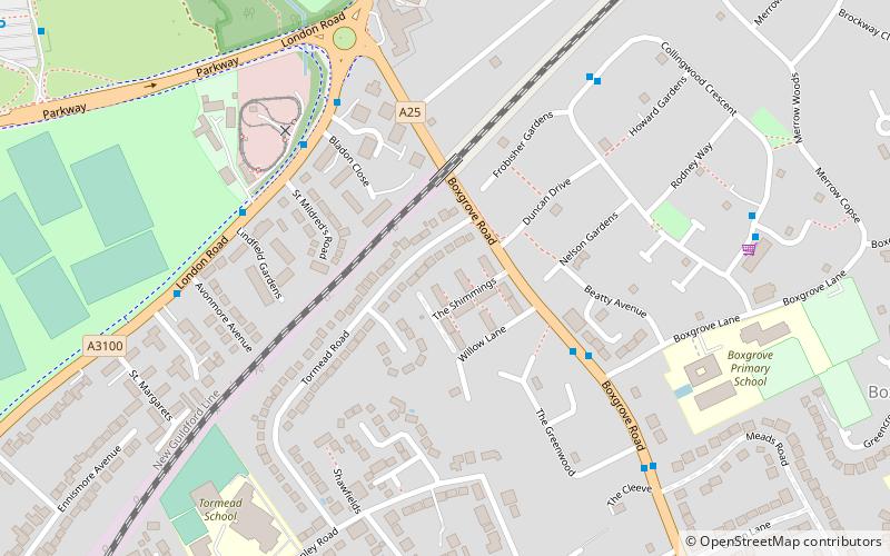
Map
Map
Facts and practical information
The Borough of Guildford is a local government district with borough status in Surrey, England. With around half of the borough's population, Guildford is its largest settlement and only town, and is the location of the council. ()
Getting there by public transportation
Public transportation stops near this location
- Bus
- Train
 Bus
Bus
- Calculate routeBoxgrove Lane 4 min walk
- Calculate routeElgin Gardens 5 min walk
- Calculate routeAvonmore Avenue 6 min walk
- Calculate routeCollingwood Crescent 6 min walk
- Calculate routeLondon Road 18 min walk
Day trips


Frequently Asked Questions (FAQ)
Which popular attractions are close to Borough of Guildford?
Nearby attractions include Guildford Model Engineering Society, Guildford (5 min walk), Stoke Park, Guildford (12 min walk), Guildford College, Guildford (20 min walk), Guildford Civic Hall, Guildford (21 min walk).
How to get to Borough of Guildford by public transport?
The nearest stations to Borough of Guildford:
Bus
Train
Bus
- Boxgrove Lane • Lines: 23 (4 min walk)
- Elgin Gardens • Lines: 18, 462, 6, 715 (5 min walk)
Train
- London Road (18 min walk)