The Nunnery, Douglas
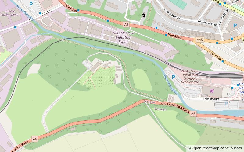
Map
Gallery
Facts and practical information
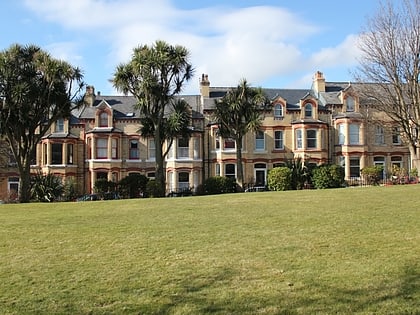
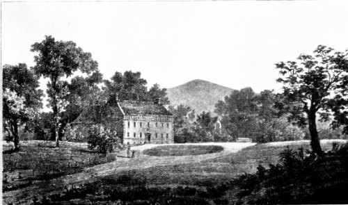
The Nunnery is an estate outside of Douglas on the Isle of Man, named after a religious foundation on the site, at grid reference SC372754. ()
Coordinates: 54°8'53"N, 4°29'38"W
Address
Douglas
ContactAdd
Social media
Add
Day trips
The Nunnery – popular in the area (distance from the attraction)
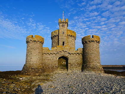
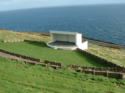
Nearby attractions include: National Sports Centre, Tower of Refuge, Manx Museum, Douglas Head Amphitheatre.
Frequently Asked Questions (FAQ)
Which popular attractions are close to The Nunnery?
Nearby attractions include Priory of Douglas, Douglas (2 min walk), Mobile Family Library, Douglas (11 min walk), St. Mary of the Isle Church, Douglas (13 min walk), All Saints Church, Douglas (15 min walk).
How to get to The Nunnery by public transport?
The nearest stations to The Nunnery:
Train
Bus
Tram
Train
- Douglas Railway Station (9 min walk)
Bus
- National Sports Centre Layby • Lines: 1 (14 min walk)
- Groves Road / National Sports Centre • Lines: 1 (14 min walk)
Tram
- Loch Promenade • Lines: Douglas Horse Tramway (18 min walk)
- Regent Street • Lines: Douglas Horse Tramway (18 min walk)


