Burnhope Reservoir, North Pennines

Gallery (1)
Map
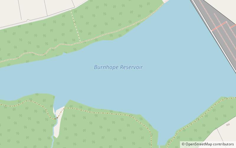
Map
Facts and practical information
Burnhope Reservoir is a reservoir above the village of Wearhead, County Durham, England. ()
Coordinates: 54°44'39"N, 2°14'48"W
Address
North Pennines
ContactAdd
Social media
Add
Day trips