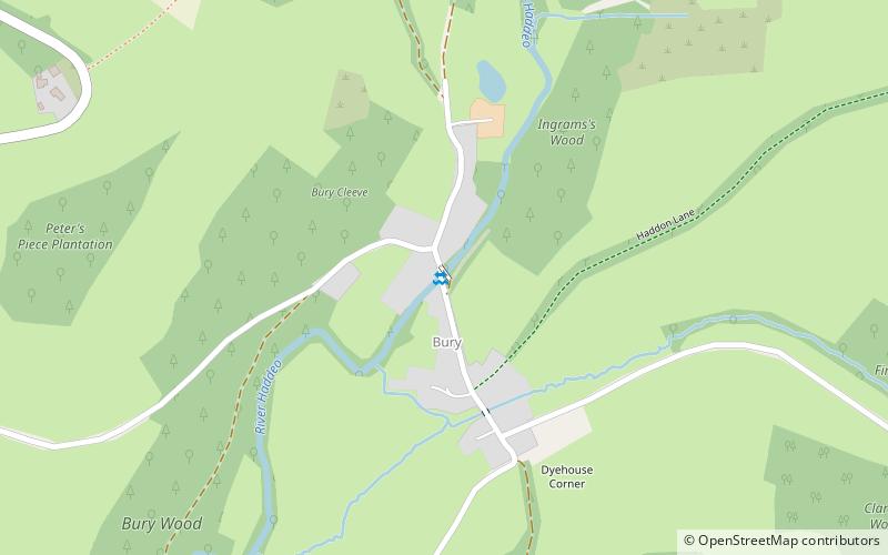
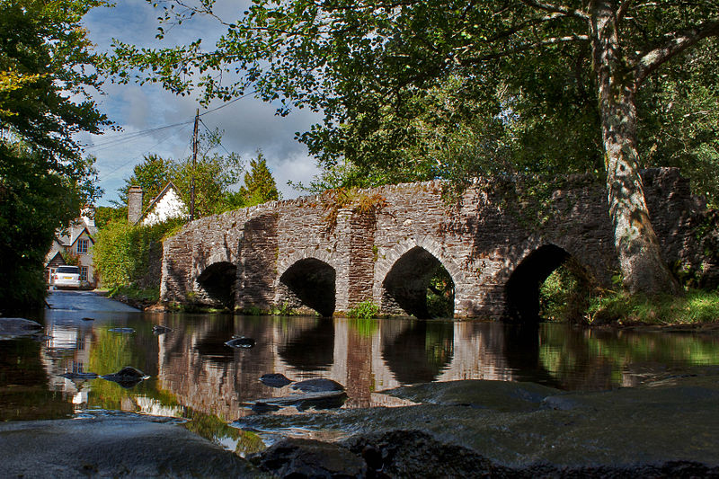
Bury Bridge, Exmoor National Park

Gallery (2)
Map
Map
Gallery
Facts and practical information
Bury Bridge at Bury in the parish of Brompton Regis within the English county of Somerset is a medieval packhorse bridge. It has been scheduled as an ancient monument and Grade II* listed building. ()
Length: 63 ftWidth: 6 ftCoordinates: 51°2'12"N, 3°30'24"W
Address
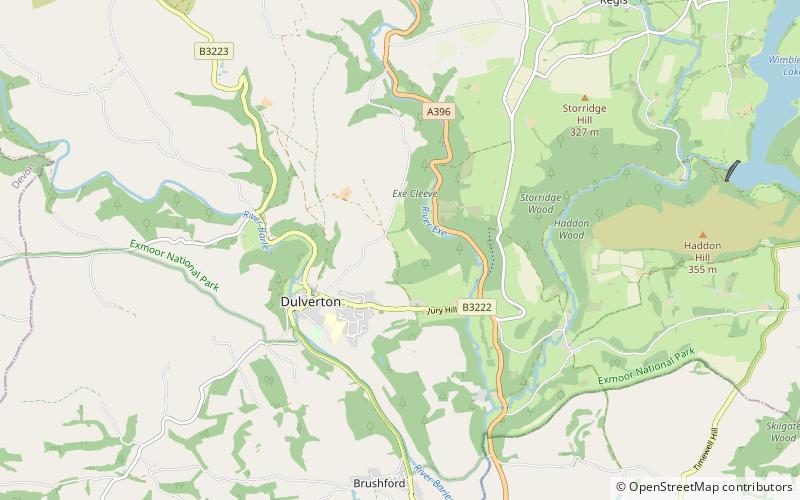
Exmoor National Park
ContactAdd
Social media
Add
Day trips