Dinting Viaduct, Glossop
Map

Map

Facts and practical information
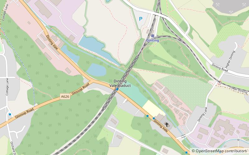
Dinting Viaduct is a 19th-century railway viaduct in Glossopdale in Derbyshire, England, that carries the Glossop Line over a valley at the village of Dinting. It crosses the Glossop Brook and the A57 road between Manchester and Sheffield. ()
Opened: 8 August 1844 (181 years ago)Coordinates: 53°26'51"N, 1°58'21"W
Address
Glossop
ContactAdd
Social media
Add
Day trips
Dinting Viaduct – popular in the area (distance from the attraction)
Nearby attractions include: Glossop Town Hall, Ardotalia, St James' Church Glossop, Partington Players Theatre.
Frequently Asked Questions (FAQ)
Which popular attractions are close to Dinting Viaduct?
Nearby attractions include Ardotalia, Glossop (18 min walk), Glossop Castle, Glossop (21 min walk), St Luke's Church, Glossop (23 min walk).
How to get to Dinting Viaduct by public transport?
The nearest stations to Dinting Viaduct:
Bus
Train
Bus
- Dinting Vale, Dinting Vale / opposite Glossop Road • Lines: 394 (1 min walk)
Train
- Dinting (4 min walk)
- Hadfield (25 min walk)


