The Crown Inn, Glossop
Map
Facts and practical information
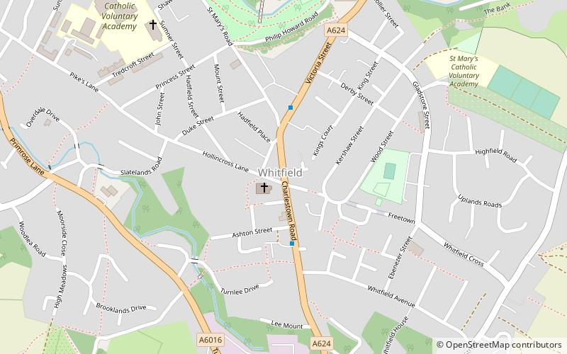
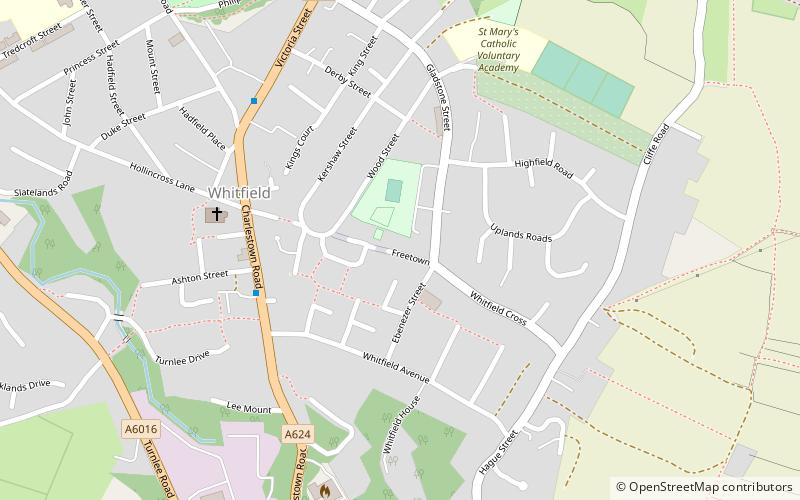
The Crown Inn is a public house at 142 Victoria Street, Glossop, Derbyshire SK13 8JF. ()
Coordinates: 53°26'20"N, 1°57'8"W
Address
Glossop
ContactAdd
Social media
Add
Getting there by public transportation
Public transportation stops near this location
- Bus
- Train
 Bus
Bus
- Calculate routeGlossop, High Street West / opposite Arundel Street 8 min walk
- Calculate routeGlossop 11 min walk
- Calculate routeManor Station 20 min walk
- Calculate routeDinting 27 min walk
Day trips


Frequently Asked Questions (FAQ)
Which popular attractions are close to The Crown Inn?
Nearby attractions include St James' Church Glossop, Glossop (1 min walk), Glossopdale, Glossop (4 min walk), Glossop Town Hall, Glossop (8 min walk), Partington Players Theatre, Glossop (9 min walk).
How to get to The Crown Inn by public transport?
The nearest stations to The Crown Inn:
Bus
Train
Bus
- Glossop, High Street West / opposite Arundel Street • Lines: 394 (8 min walk)
Train
- Glossop (11 min walk)
- Manor Station (20 min walk)