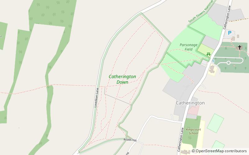
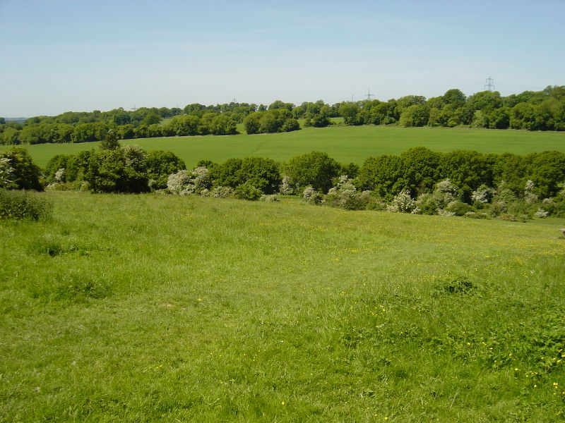
Catherington Down, South Downs National Park

Gallery (2)
Map
Map
Gallery
Facts and practical information
Catherington Down is a 12.8-hectare biological Site of Special Scientific Interest in Catherington in Hampshire. It is also a Local Nature Reserve ()
Elevation: 289 ft a.s.l.Coordinates: 50°55'29"N, 1°1'6"W
Day trips


