Windmill Hill, South Downs National Park
Map

Map

Facts and practical information
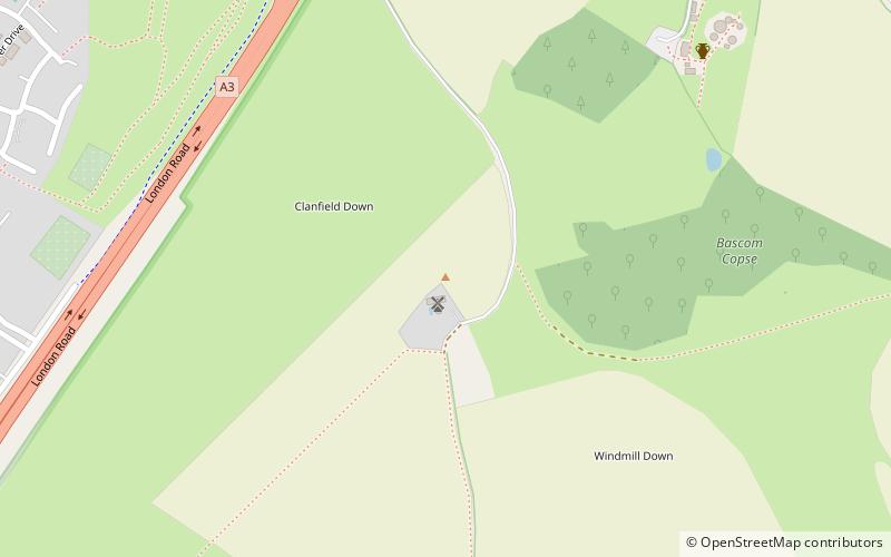
Windmill Hill is a chalk hill running alongside the A3 in the East Hampshire district of Hampshire, England, overlooking Chalton to the east, and Clanfield to the west. It measures 193 metres above sea level and is named so because of Chalton Windmill which sits upon its summit. This windmill is a Grade II listed building which lay derelict until the late 1970s, when it was restored and converted into a private residence. ()
Coordinates: 50°56'25"N, 0°58'56"W
Address
South Downs National Park
ContactAdd
Social media
Add
Day trips
Windmill Hill – popular in the area (distance from the attraction)
Nearby attractions include: Butser Ancient Farm, Uppark, Buriton Chalk Pit, Butser Hill.
Frequently Asked Questions (FAQ)
Which popular attractions are close to Windmill Hill?
Nearby attractions include Chalton Windmill, South Downs National Park (1 min walk), Butser Ancient Farm, South Downs National Park (8 min walk).


