Orford Hall, Warrington

Map
Facts and practical information
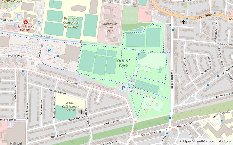
Orford Hall, now demolished, was a 17th-century country house built in an estate which is now a public park in Orford, Warrington, England. ()
Coordinates: 53°24'26"N, 2°34'57"W
Address
Warrington
ContactAdd
Social media
Add
Getting there by public transportation
Public transportation stops near this location
- Bus
- Train
 Bus
Bus
- Calculate routeOrford Park Centre 8 min walk
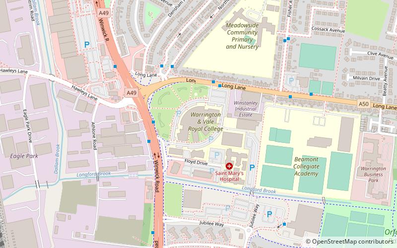
- Calculate routeWinwick Road College 13 min walk
- Calculate routeAlder Lane 14 min walk
- Calculate routeAlban Retail Park 15 min walk
- Calculate routePadgate 27 min walk
- Calculate routeWarrington Central 29 min walk
Day trips


Frequently Asked Questions (FAQ)
Which popular attractions are close to Orford Hall?
Nearby attractions include Orford Park, Warrington (6 min walk), Warrington Collegiate, Warrington (11 min walk), St Benedict's Church, Warrington (16 min walk), Old St Ann's Church, Warrington (23 min walk).
How to get to Orford Hall by public transport?
The nearest stations to Orford Hall:
Bus
Train
Bus
- Orford Park Centre • Lines: 22A (8 min walk)
- Winwick Road College • Lines: 22, 22A (13 min walk)
Train
- Padgate (27 min walk)
- Warrington Central (29 min walk)