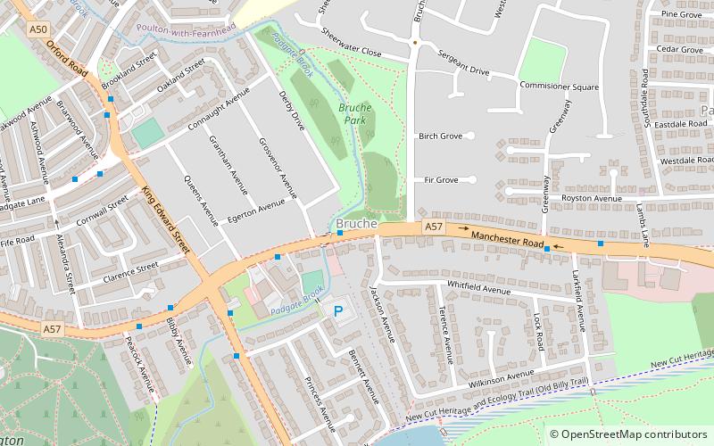
Bruche, Warrington
Map
Facts and practical information
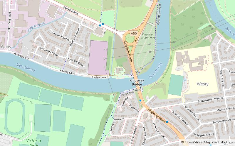
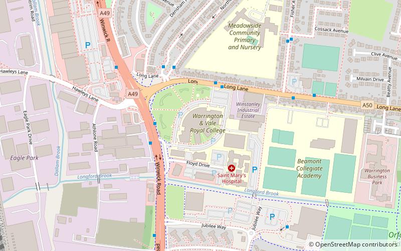
Bruche is a large suburb of Warrington, Cheshire, England. ()
Coordinates: 53°23'52"N, 2°33'47"W
Address
Warrington
ContactAdd
Social media
Add
Getting there by public transportation
Public transportation stops near this location
- Bus
- Train
 Bus
Bus
- Calculate routeBruche Bridge 1 min walk
- Calculate routeAlford Hall 3 min walk
- Calculate routeGreenway 6 min walk
- Calculate routePeacock Avenue 6 min walk
- Calculate routePadgate 16 min walk
Day trips


Frequently Asked Questions (FAQ)
Which popular attractions are close to Bruche?
Nearby attractions include Paddington Meadows, Warrington (17 min walk), St Elphin's Church, Warrington (22 min walk).
How to get to Bruche by public transport?
The nearest stations to Bruche:
Bus
Train
Bus
- Bruche Bridge • Lines: 100, 3 (1 min walk)
- Alford Hall • Lines: 100, 3 (3 min walk)
Train
- Padgate (16 min walk)