Abbeydale Road, Sheffield
Map

Map

Facts and practical information
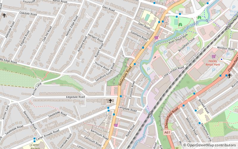
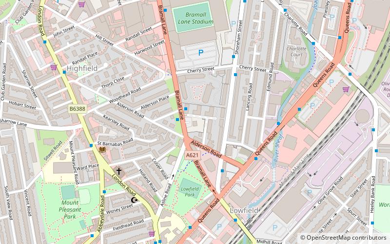
Abbeydale Road and its continuation Abbeydale Road South together are an arterial main road and bus route in Sheffield, South Yorkshire, England. The road begins at a junction with London Road near the former Royal Hotel public house. As Abbeydale Road it leads south-west from the suburb of Highfield, becoming Abbeydale Road South near Millhouses Park and leading to the railway bridge over the Dore and Chinley Railway, before becoming Baslow Road. ()
Coordinates: 53°21'21"N, 1°29'8"W
Day trips
Abbeydale Road – popular in the area (distance from the attraction)
Nearby attractions include: Bramall Lane, Sheffield Botanical Gardens, Sheaf House Stadium, Bishops' House.
Frequently Asked Questions (FAQ)
Which popular attractions are close to Abbeydale Road?
Nearby attractions include Sheffield Auction Gallery, Sheffield (9 min walk), Chesterfield Road, Sheffield (12 min walk), Meersbrook Park, Sheffield (13 min walk), Lantern Theatre, Sheffield (17 min walk).
How to get to Abbeydale Road by public transport?
The nearest stations to Abbeydale Road:
Bus
Tram
Bus
- Abbeydale Road/Edgedale Road • Lines: 75, 76, 86, 97, 98, C1 (2 min walk)
- Carter Knowle Road/Abbeydale Road • Lines: 6 (3 min walk)
Tram
- Park Grange Croft • Lines: Blue, Purp (39 min walk)


