Millhouses Park, Sheffield
Map

Map

Facts and practical information
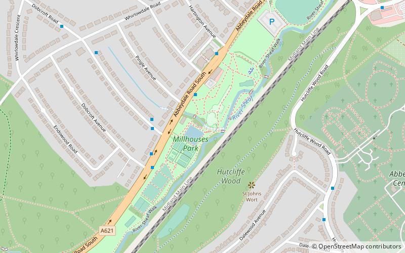
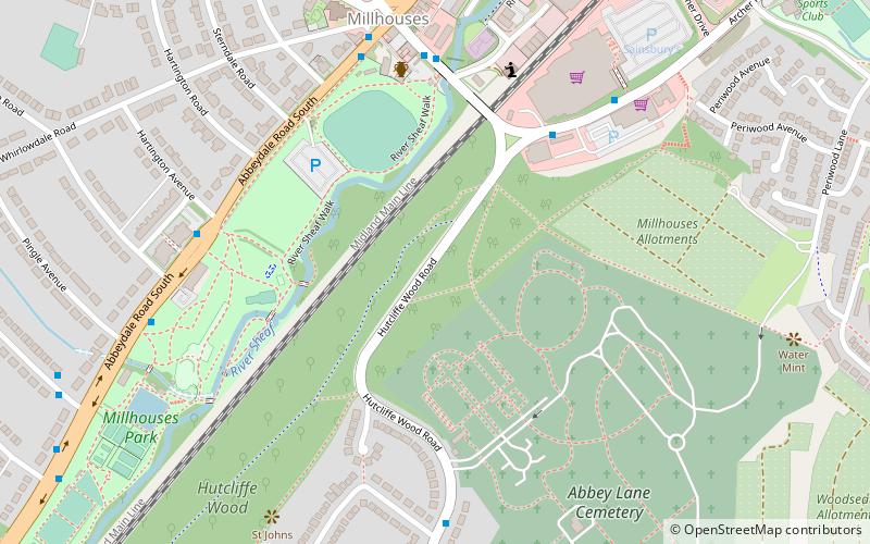
Millhouses Park is a public urban park located in the Millhouses neighbourhood in south of Sheffield, England. It is a 12.87-hectare park stretching approximately 0.75 miles along the floor of the valley of the River Sheaf, sandwiched between Abbeydale Road South and the railway tracks of the Midland Main Line. ()
Created: 1859Elevation: 341 ft a.s.l.Coordinates: 53°20'30"N, 1°30'5"W
Day trips
Millhouses Park – popular in the area (distance from the attraction)
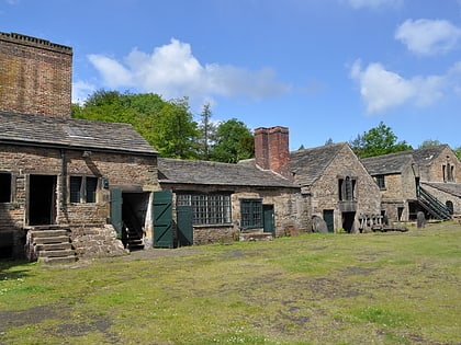
Nearby attractions include: Abbeydale Industrial Hamlet, Abbeydale Picture House, Graves Park, Meersbrook Park.
Frequently Asked Questions (FAQ)
Which popular attractions are close to Millhouses Park?
Nearby attractions include Hutcliffe Wood, Sheffield (7 min walk), Ecclesall Woods, Sheffield (13 min walk), Beauchief Abbey, Sheffield (15 min walk), Abbeydale Industrial Hamlet, Sheffield (18 min walk).
How to get to Millhouses Park by public transport?
The nearest stations to Millhouses Park:
Bus
Train
Bus
- Abbeydale Road South/Pingle Road • Lines: 97, 98, C5, C6 (2 min walk)
- Dobcroft Road/Abbeydale Road South • Lines: 82, C6 (3 min walk)
Train
- Dore and Totley (29 min walk)


