Mynydd Meio

Map
Facts and practical information
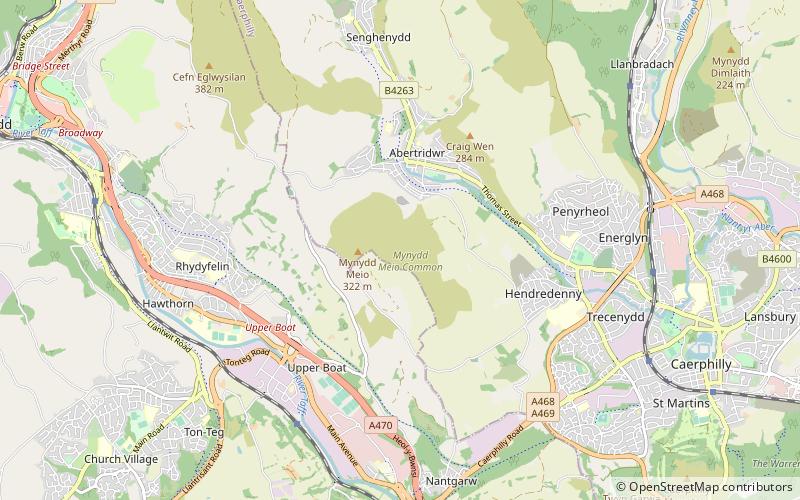
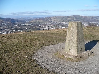
Mynydd Meio is a 322-metre-high hill in the county borough of Caerphilly in South Wales. Parts of its western slopes fall within Rhondda Cynon Taf county borough. Its eastern slopes drop away to Cwm yr Aber between Caerphilly and Abertridwr and its western slopes to the valley of the Taf. The high point is just over 200 m north of the trig point which sits at 322 metres above sea-level. ()
Elevation: 1056 ftCoordinates: 51°35'12"N, 3°16'21"W
Location
Wales
ContactAdd
Social media
Add
Day trips
Mynydd Meio – popular in the area (distance from the attraction)
Nearby attractions include: Caerphilly Castle, Caerphilly Golf Club, Lido Ponty, Old Bridge.


