Crug Mawr, Brecon Beacons

Gallery (1)
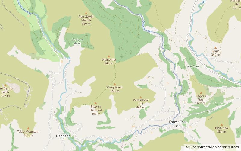
Map
Map
Facts and practical information
Crug Mawr is a hill in the Black Mountains in the Brecon Beacons National Park in southern Powys, Wales. Its summit at a height of 550 m is marked by a trig point. The peak sits high above the valleys of the Grwyne Fawr and Grwyne Fechan to the north of the more well-known Sugar Loaf. The views from here across the Black Mountains are wide-ranging and also extend eastwards across Monmouthshire. Four ridges run off to the northwest, east, southeast and southwest, the last ending in the subsidiary summit of Blaen-yr-henbant. ()
Elevation: 1804 ftCoordinates: 51°53'52"N, 3°4'25"W
Address
Brecon Beacons
ContactAdd
Social media
Add
Day trips


