Fernilee Reservoir, Peak District
Map

Gallery

Facts and practical information
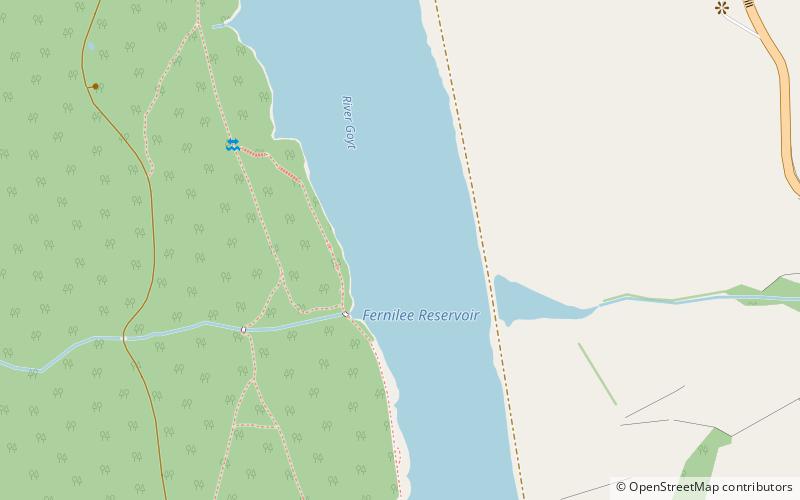
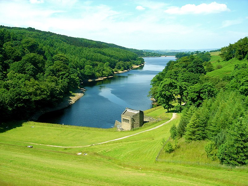
Fernilee Reservoir is a drinking-water reservoir fed by the River Goyt in the Peak District National Park, within the county of Derbyshire and very close to the boundary with Cheshire. The village of Fernliee sits at the north end of the reservoir, with Goyt's Moss to the south and between Hoo Moor to the west and Combs Moss to the east. ()
Length: 5906 ftWidth: 984 ftMaximum depth: 125 ftElevation: 820 ft a.s.l.Coordinates: 53°17'21"N, 1°58'49"W
Address
Peak District
ContactAdd
Social media
Add
Day trips
Fernilee Reservoir – popular in the area (distance from the attraction)
Nearby attractions include: Cats Tor, Errwood Reservoir, Upper Goyt Valley, Windgather Rocks.


