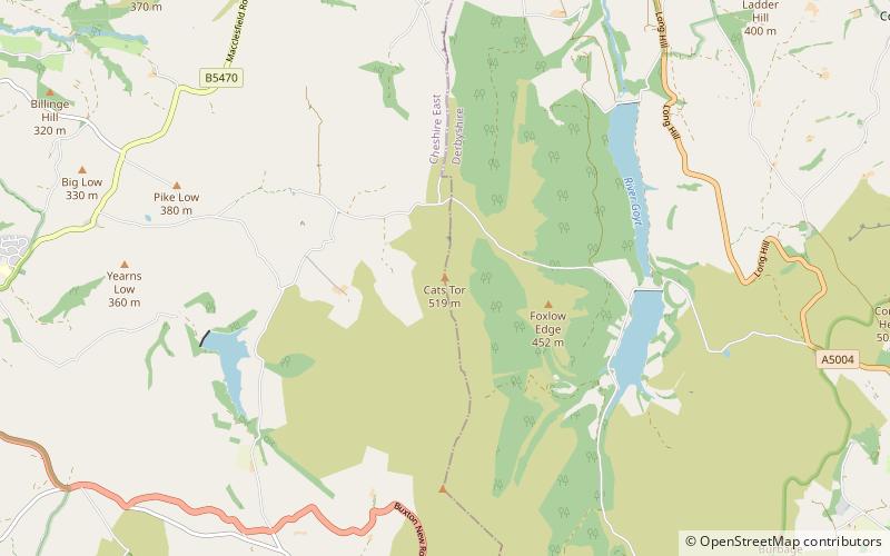
Cats Tor, Peak District
Map

Map

Facts and practical information
Cats Tor is a Peak District hill on the border between Cheshire and Derbyshire, between the towns of Macclesfield and Buxton. The summit is 518 metres above sea level. Tor is an Old English word for a high, rocky hill. ()
Coordinates: 53°16'48"N, 2°0'33"W
Address
Peak District
ContactAdd
Social media
Add
Day trips
Cats Tor – popular in the area (distance from the attraction)
Nearby attractions include: Errwood Reservoir, Jenkin Chapel, Upper Goyt Valley, Fernilee Reservoir.


