Priory of Douglas, Douglas
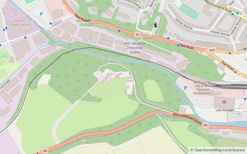
Map
Facts and practical information
The former Priory of Douglas was a Cistercian monastery of nuns on the Isle of Man, apparently founded in the reign of Rǫgnvaldr Guðrøðarson, King of the Isles. ()
Coordinates: 54°8'54"N, 4°29'41"W
Address
Douglas
ContactAdd
Social media
Add
Getting there by public transportation
Public transportation stops near this location
- Bus
- Tram
- Train
 Bus
Bus
- Calculate routeDouglas Railway Station 10 min walk
- Calculate routeNational Sports Centre Layby 13 min walk
- Calculate routeGroves Road / National Sports Centre 13 min walk
- Calculate routeVictoria Street 18 min walk
- Calculate routeLoch Promenade 19 min walk
- Calculate routeLoch Promenade 19 min walk
- Calculate routeRegent Street 19 min walk
Day trips


Frequently Asked Questions (FAQ)
Which popular attractions are close to Priory of Douglas?
Nearby attractions include Mobile Family Library, Douglas (11 min walk), St. Mary of the Isle Church, Douglas (14 min walk), All Saints Church, Douglas (15 min walk), Manx Museum, Douglas (18 min walk).
How to get to Priory of Douglas by public transport?
The nearest stations to Priory of Douglas:
Train
Bus
Tram
Train
- Douglas Railway Station (10 min walk)
Bus
- National Sports Centre Layby • Lines: 1 (13 min walk)
- Groves Road / National Sports Centre • Lines: 1 (13 min walk)
Tram
- Loch Promenade • Lines: Douglas Horse Tramway (19 min walk)
- Regent Street • Lines: Douglas Horse Tramway (19 min walk)