St Hilda's Church, South Tyneside
Map

Map

Facts and practical information
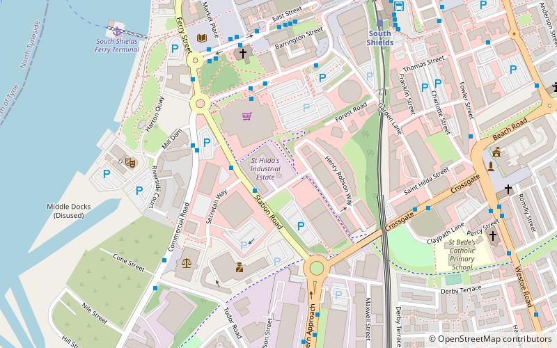
St Hilda's Church, South Shields is a Grade II listed parish church in the Church of England in South Shields. ()
Completed: 1811 (215 years ago)Coordinates: 54°59'41"N, 1°26'10"W
Day trips
St Hilda's Church – popular in the area (distance from the attraction)
Nearby attractions include: Wet N Wild, Royal Quays, Arbeia, Ocean Beach Pleasure Park.
Frequently Asked Questions (FAQ)
Which popular attractions are close to St Hilda's Church?
Nearby attractions include Customs House, South Tyneside (5 min walk), South Shields Market Square, South Tyneside (6 min walk), South Shields Town Hall, South Tyneside (8 min walk), North East Maritime Trust, South Tyneside (17 min walk).
How to get to St Hilda's Church by public transport?
The nearest stations to St Hilda's Church:
Light rail
Bus
Ferry
Light rail
- South Shields • Lines: Yellow (6 min walk)
- Chichester • Lines: Yellow (15 min walk)
Bus
- South Shields Transport Interchange (7 min walk)
- South Shields Interchange (7 min walk)
Ferry
- Newcastle • Lines: Newcastle - IJmuiden (16 min walk)


