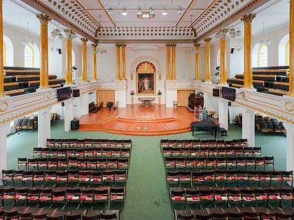
Marylebone, London
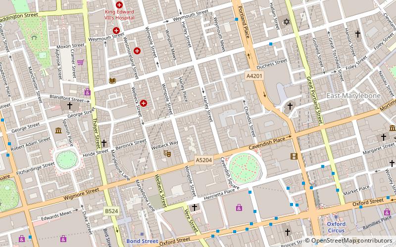
Map
Map

Facts and practical information
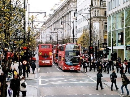
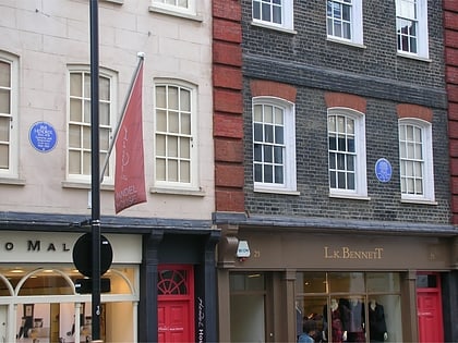
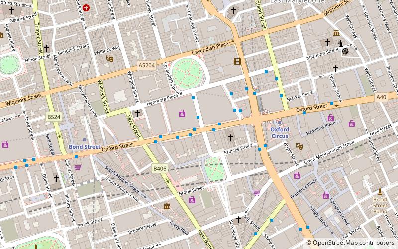
Marylebone is a district in the West End of London, in the City of Westminster. Oxford Street, Europe's busiest shopping street, forms its southern boundary. ()
Day trips
Marylebone – popular in the area (distance from the attraction)
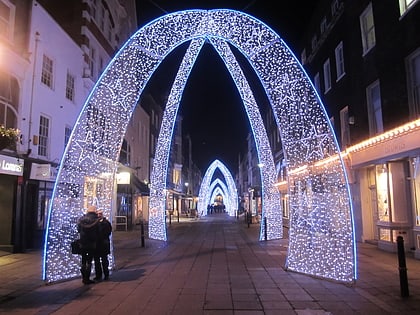
Nearby attractions include: Oxford Street, Wallace Collection, Marylebone High Street, South Molton Street.
Frequently Asked Questions (FAQ)
Which popular attractions are close to Marylebone?
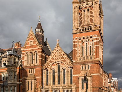
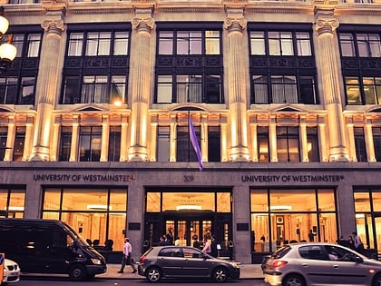
Nearby attractions include Wigmore Hall, London (3 min walk), Royal College of Nursing, London (4 min walk), Broadcasting House, London (4 min walk), BBC Radio Theatre, London (4 min walk).
How to get to Marylebone by public transport?
The nearest stations to Marylebone:
Bus
Metro
Train
Ferry
Bus
- Holles Street • Lines: 55, 73, N55 (5 min walk)
- Oxford Circus Station / John Lewis • Lines: 390, 7, 98, N207, N7, N98 (6 min walk)
Metro
- Bond Street • Lines: Central, Jubilee (7 min walk)
- Oxford Circus • Lines: Bakerloo, Central, Victoria (8 min walk)
Train
- London Marylebone (22 min walk)
- London Euston (25 min walk)
Ferry
- Embankment • Lines: Green Tour, Rb1, Rb1X, Rb2, Rb6 (34 min walk)
- Westminster Pier • Lines: Blue Tour, Green Tour, Rb1, Rb1X, Rb2, Red Tour (39 min walk)

 Tube
Tube