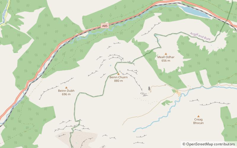
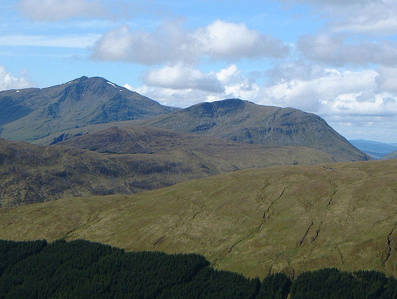
Beinn Chùirn, Loch Lomond and The Trossachs National Park

Gallery (3)
Map
Map
Gallery
Facts and practical information
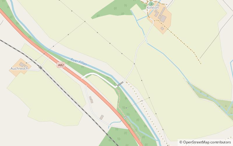
Beinn Chùirn is a hill five kilometres west-south-west of Tyndrum, Scotland, standing on the border of Stirlingshire and Perthshire at the northern extremity of the Loch Lomond and The Trossachs National Park. ()
Elevation: 2887 ftProminence: 1463 ftCoordinates: 56°25'25"N, 4°47'21"W
Address
Loch Lomond and The Trossachs National Park
ContactAdd
Social media
Add
Day trips