Beinn Odhar
Map

Gallery

Facts and practical information
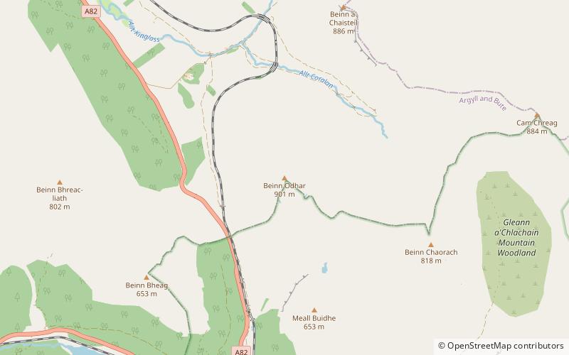
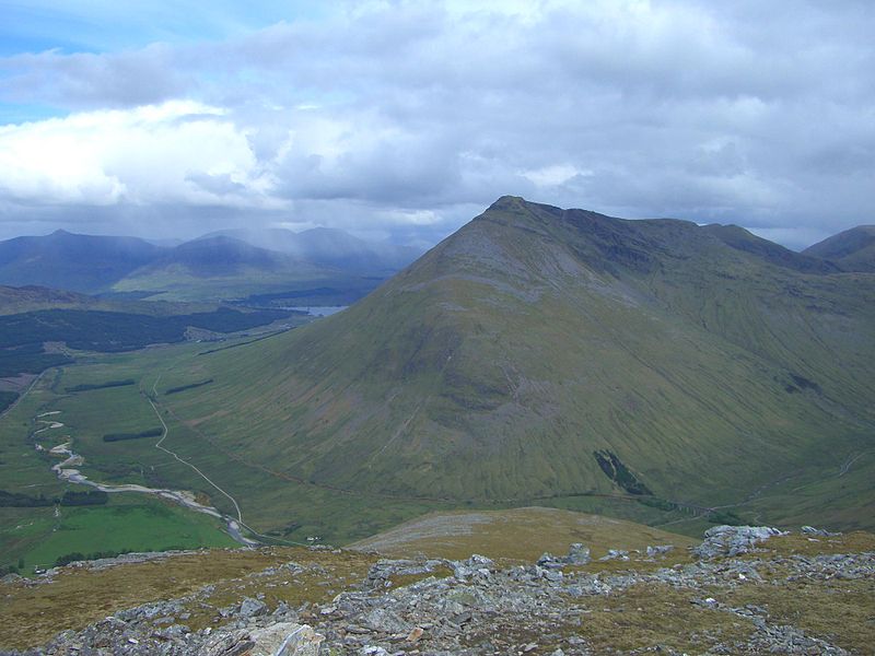
Beinn Odhar is a Scottish mountain situated at the northern extremity of the Loch Lomond and the Trossachs National Park. It stands four km north of Tyndrum, a location with which it has strong ties, being well seen from the village. The mountain lies on the border between Argyll and Bute and Stirling council areas within the Auch and Invermeran estate. ()
Elevation: 2956 ftProminence: 1499 ftCoordinates: 56°28'4"N, 4°42'2"W
Location
Scotland
ContactAdd
Social media
Add
Day trips
Beinn Odhar – popular in the area (distance from the attraction)
Nearby attractions include: Beinn Challuim, Ben Oss, Beinn a' Chaisteil, Ben Lui.


