Meall Odhar, Loch Lomond and The Trossachs National Park
Map

Map

Facts and practical information
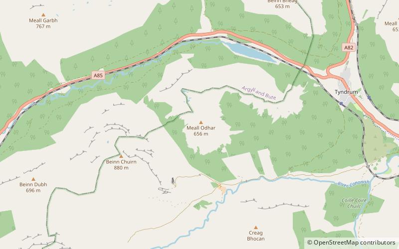
Meall Odhar is a mountain in the Scottish Highlands, situated about 3 km to the west of Tyndrum, close to the northern boundary of the Loch Lomond and the Trossachs National Park. Meall Odhar is part of the Tyndrum Hills. With a height of 656 m and a drop of 183 m, it is listed as a Marilyn and a Graham. The name Meall Odhar is from the Gaelic for "dun-coloured round hill". ()
Elevation: 2152 ftProminence: 600 ftCoordinates: 56°25'47"N, 4°45'44"W
Address
Loch Lomond and The Trossachs National Park
ContactAdd
Social media
Add
Day trips
Meall Odhar – popular in the area (distance from the attraction)
Nearby attractions include: Falls of Falloch, Beinn Challuim, Ben Oss, Beinn a' Chaisteil.


