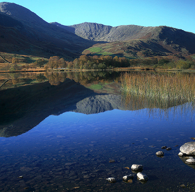
Little Langdale, Elterwater
Map
Gallery
Facts and practical information
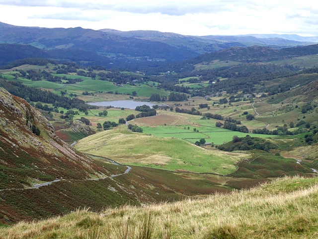
Little Langdale is a valley in the Lake District, England, containing Little Langdale Tarn and a hamlet also called Little Langdale. A second tarn, Blea Tarn, is in a hanging valley between Little Langdale and the larger Great Langdale to the north. Little Langdale is flanked on the south and southwest by Wetherlam and Swirl How, and to the north and northwest by Lingmoor Fell and Pike of Blisco. The valley descends to join with Great Langdale above Elter Water. ()
Address
Elterwater
ContactAdd
Social media
Add
Day trips
Little Langdale – popular in the area (distance from the attraction)
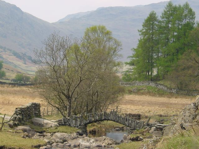
Nearby attractions include: Elter Water, Slater's Bridge, Ting Mound, Lingmoor Fell.
Frequently Asked Questions (FAQ)
How to get to Little Langdale by public transport?
The nearest stations to Little Langdale:
Bus
Bus
- The Britannia Inn • Lines: 516 (30 min walk)


