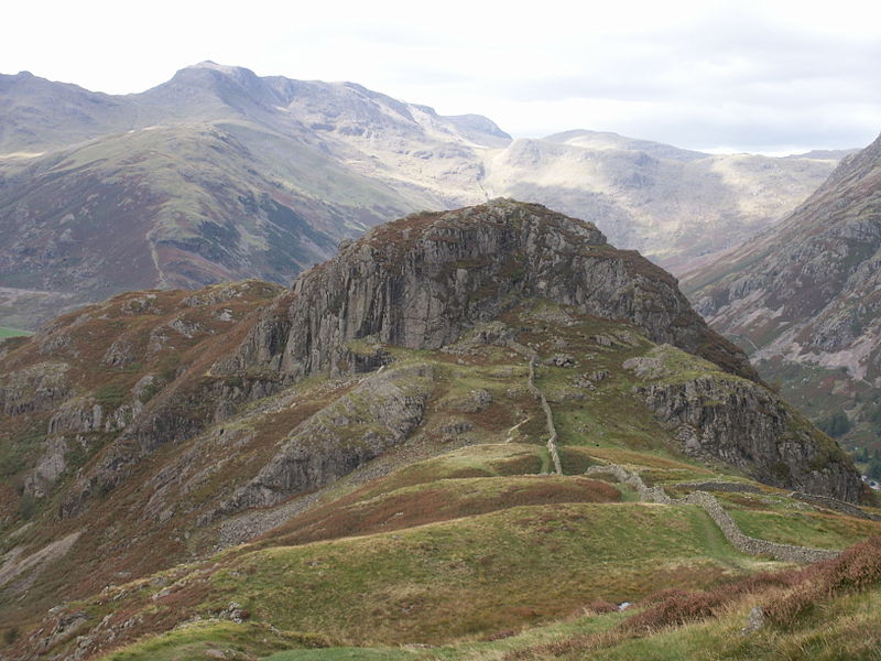
Lingmoor Fell, Elterwater
Map

Gallery

Facts and practical information
Lingmoor Fell is a fell in the English Lake District, situated eight kilometres west of Ambleside. The fell reaches a height of 469 m and divides the valleys of Great Langdale and Little Langdale. The fell's name originates from the Old Norse word lyng meaning “heather covered”. The actual summit of the fell is named as Brown How on Ordnance Survey maps. ()
Elevation: 1539 ftProminence: 804 ftCoordinates: 54°26'12"N, 3°4'42"W
Address
Elterwater
ContactAdd
Social media
Add
Day trips
Lingmoor Fell – popular in the area (distance from the attraction)
Nearby attractions include: Little Langdale, Ting Mound, Langdale axe industry, Great Langdale.
Frequently Asked Questions (FAQ)
Which popular attractions are close to Lingmoor Fell?
Nearby attractions include Great Langdale, Elterwater (23 min walk), Langdale axe industry, Elterwater (24 min walk).
How to get to Lingmoor Fell by public transport?
The nearest stations to Lingmoor Fell:
Bus
Bus
- Old Dungeon Ghyll Hotel • Lines: 516 (29 min walk)


