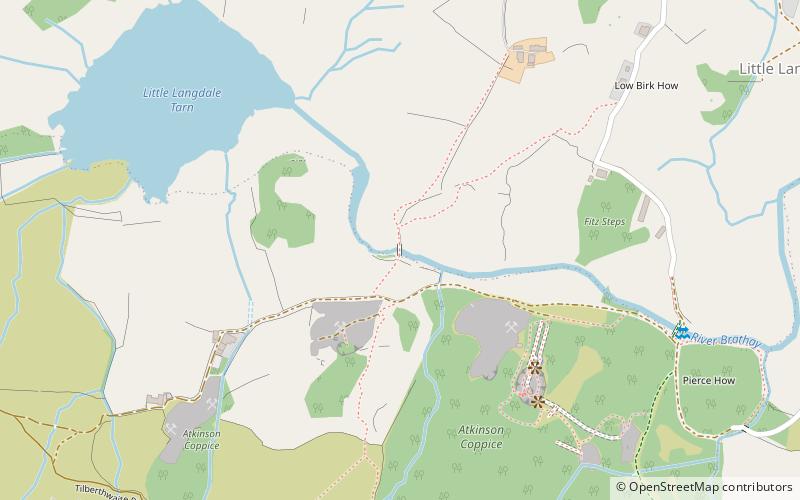
Slater's Bridge, Elterwater
Map

Map

Facts and practical information
Slater's Bridge is a traditional packhorse bridge in Little Langdale in the English Lake District, standing at National Grid Reference NY3120502996. ()
Coordinates: 54°25'4"N, 3°3'42"W
Address
Elterwater
ContactAdd
Social media
Add
Day trips
Slater's Bridge – popular in the area (distance from the attraction)
Nearby attractions include: Grasmere Lake, Loughrigg Tarn, Elter Water, Yew Tree Tarn.
Frequently Asked Questions (FAQ)
Which popular attractions are close to Slater's Bridge?
Nearby attractions include Little Langdale, Elterwater (9 min walk), Ting Mound, Elterwater (22 min walk).
How to get to Slater's Bridge by public transport?
The nearest stations to Slater's Bridge:
Bus
Bus
- The Britannia Inn • Lines: 516 (38 min walk)


