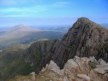
Lliwedd Bach, Snowdonia National Park
Map
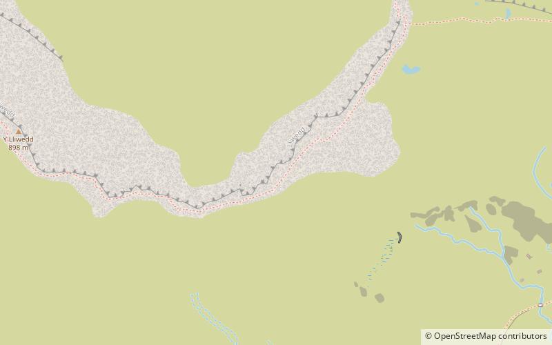
Map

Facts and practical information
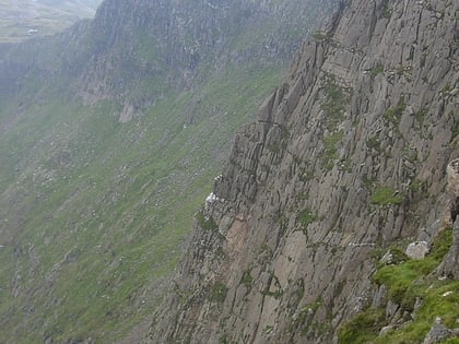
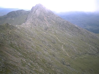
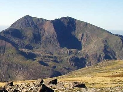
Lliwedd Bach is a top of Y Lliwedd in the Snowdonia National Park, North Wales. It is the last "top" on the main ridge of Y Lliwedd, the other being Y Lliwedd East Peak. A broad ridge at around 580m carries on northwards until the subsidiary summit of Gallt y Wenallt is reached. ()
Elevation: 2684 ftProminence: 52 ftCoordinates: 53°3'32"N, 4°2'56"W
Address
Snowdonia National Park
ContactAdd
Social media
Add
Day trips
Lliwedd Bach – popular in the area (distance from the attraction)
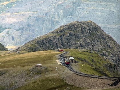
Nearby attractions include: Snowdon, Glaslyn, Llyn Llydaw, Crib Goch.
Frequently Asked Questions (FAQ)
Which popular attractions are close to Lliwedd Bach?
Nearby attractions include Y Lliwedd East Peak, Snowdonia National Park (7 min walk), Y Lliwedd, Snowdonia National Park (9 min walk), Llyn Llydaw, Snowdonia National Park (17 min walk), Gallt y Wenallt, Snowdonia National Park (23 min walk).
How to get to Lliwedd Bach by public transport?
The nearest stations to Lliwedd Bach:
Train
Train
- Summit (35 min walk)
