Llechog, Snowdonia National Park
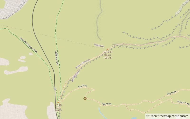
Map
Gallery
Facts and practical information
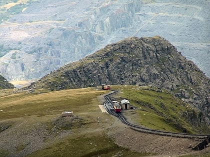
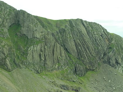
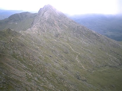
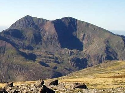
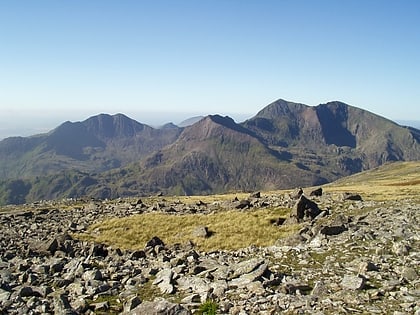
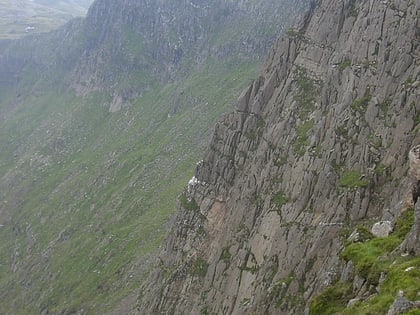
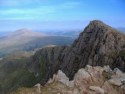
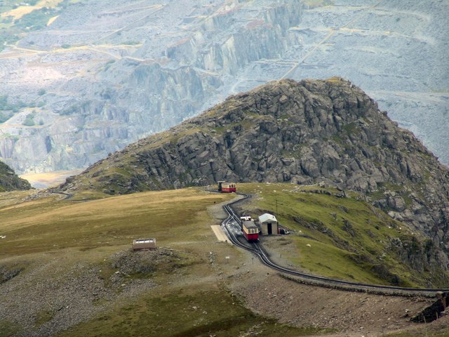
Llechog is a top of Garnedd Ugain on the Snowdon massif in Wales. It is the top of a long crest of cliffs that start in Llanberis and finishes on Garnedd Ugain. The nearby Clogwyn Station is a stop of the Snowdon mountain railway. The summit is a rocky peak sitting out from cliffs which fall steeply down to the Nant Peris valley. The viewpoint is commanding, where the full prominence of Glyder Fawr, Y Garn, Elidir Fawr and Crib Goch can be admired. ()
Elevation: 2362 ftProminence: 92 ftCoordinates: 53°4'30"N, 4°4'35"W
Address
Snowdonia National Park
ContactAdd
Social media
Add
Day trips
Llechog – popular in the area (distance from the attraction)
Nearby attractions include: Snowdon, Clogwyn Du'r Arddu, Glaslyn, Llyn Llydaw.
Frequently Asked Questions (FAQ)
Which popular attractions are close to Llechog?
Nearby attractions include Garnedd Ugain, Snowdonia National Park (2 min walk), Snowdon, Snowdonia National Park (12 min walk), Glaslyn, Snowdonia National Park (14 min walk), Snowdon Massif, Snowdonia National Park (21 min walk).
How to get to Llechog by public transport?
The nearest stations to Llechog:
Train
Train
- Summit (12 min walk)
- Clogwyn (17 min walk)
