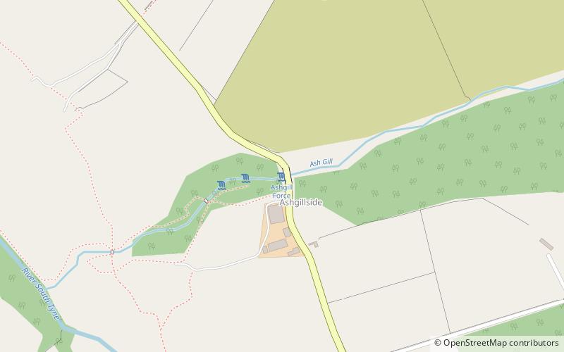
Ashgill Force, Alston
#1 among attractions in Alston


Facts and practical information
Ashgill Force is a waterfall near Alston, Cumbria, England. ()
Alston United Kingdom
Ashgill Force – popular in the area (distance from the attraction)
Nearby attractions include: North of England Lead Mining Museum, Great Dun Fell, Pennines, Cross Fell.
 History museum, Museum
North of England Lead Mining Museum, Stanhope
115 min walk • The North of England Lead Mining Museum, better known as Killhope, is an industrial museum near the village of Cowshill, County Durham, England. The museum stands on the site of the former Park Level Mine, which is being restored to show the workings of a 19th-century lead mine.
 Nature, Natural attraction, Mountain
Great Dun Fell
152 min walk • At a height of 848 metres, Great Dun Fell is the second-highest mountain in England's Pennines, lying two miles south along the watershed from Cross Fell, its higher neighbour.
 Nature, Natural attraction, Hill
Pennines
150 min walk • The Pennines, also known as the Pennine Chain or Pennine Hills, are a more-or-less continuous range of hills and mountains running between three regions of Northern England: North West England on the west, and North East England and Yorkshire and the Humber on the east.
 Nature, Natural attraction, Mountain
Cross Fell
150 min walk • Cross Fell is the highest mountain in the Pennine Hills of Northern England and the highest point in England outside the Lake District. It is located in the North Pennines Area of Outstanding Natural Beauty. It lies within the county of Cumbria and the historic county boundaries of Cumberland.
 Forts and castles
Whitley Castle, Alston
165 min walk • Whitley Castle is a large, unusually shaped Roman fort north-west of the town of Alston, Cumbria, England. The castrum, which was first built by the Roman Army early in the 2nd century AD, was partly demolished and rebuilt around 200 AD.

 Mountain pass
Killhope Cross, Alston
78 min walk • Killhope Cross is a mountain pass in the English Pennines. The pass divides Weardale to the east and Cumbria to the west. The road over the pass, the from Hartlepool to Carlisle, Cumbria, connects the hamlet of Cornriggs in County Durham with the town of Alston, Cumbria.
 Dam
DamBurnhope Reservoir, North Pennines
135 min walk • Burnhope Reservoir is a reservoir above the village of Wearhead, County Durham, England. The reservoir was created by the construction of an earth embankment dam across the valley of Burnhope Burn, a tributary of the River Wear, 1 kilometre above Wearhead.
 Natural attraction, Mountain
Burnhope Seat
66 min walk • Burnhope Seat is a high moorland fell in the North Pennines Area of Outstanding Natural Beauty in northern England. It lies between the heads of the Rivers Tees, South Tyne and Wear. The summit is crossed by the boundary between County Durham and Cumbria. The trig point is the highest point in historic County Durham.
