Killhope Cross, Alston
Map

Map

Facts and practical information
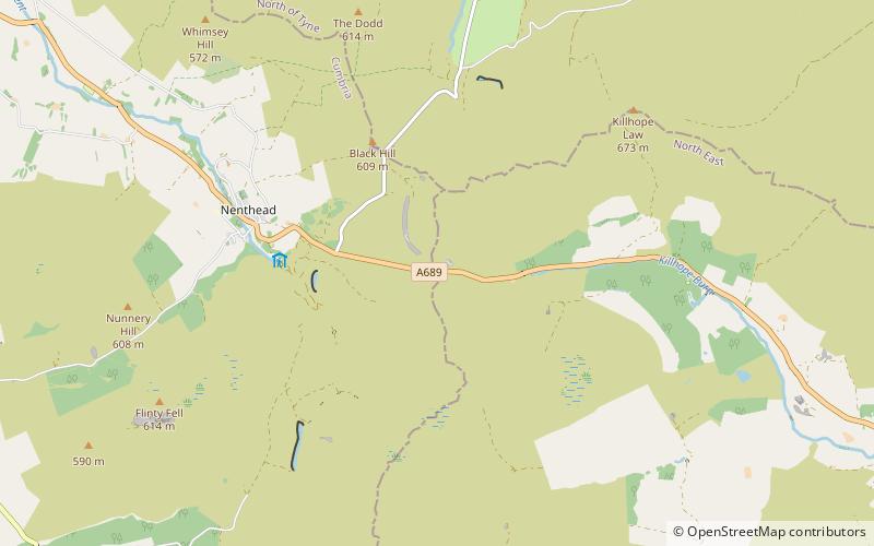
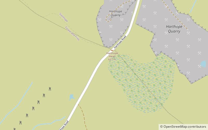
Killhope Cross is a mountain pass in the English Pennines. The pass divides Weardale to the east and Cumbria to the west. The road over the pass, the from Hartlepool to Carlisle, Cumbria, connects the hamlet of Cornriggs in County Durham with the town of Alston, Cumbria. It is the equal highest paved pass in England with the Harthope Moss approximately 10 miles to the south, on the other side of Burnhope Seat. ()
Coordinates: 54°47'1"N, 2°18'48"W
Address
Alston
ContactAdd
Social media
Add
Day trips
Killhope Cross – popular in the area (distance from the attraction)
Nearby attractions include: North of England Lead Mining Museum, Ashgill Force, Throssel Hole Buddhist Abbey, Ceramics at 1611 Gallery.


