Cefn Llechid, Brecon Beacons

Map
Facts and practical information
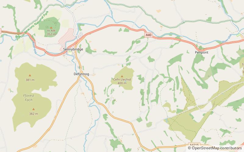
Cefn Llechid is a small area of unenclosed land in the Brecon Beacons National Park east of Sennybridge in the county of Powys, Wales. It lies within Fforest Fawr Geopark. Its plateau-like summit surface peaks at 400m where it is marked by a trig point. A couple of small bodies of water lie in a hollow on the plateau. The hill is owned and managed by the Brecon Beacons National Park Authority. ()
Coordinates: 51°56'11"N, 3°32'27"W
Address
Brecon Beacons
ContactAdd
Social media
Add
Day trips
Cefn Llechid – popular in the area (distance from the attraction)
Nearby attractions include: Llyn Cwm Llwch, Maen Llia, Mynydd Illtud, Y Gaer.


