Luton Rugby Club, Luton
Map
Facts and practical information
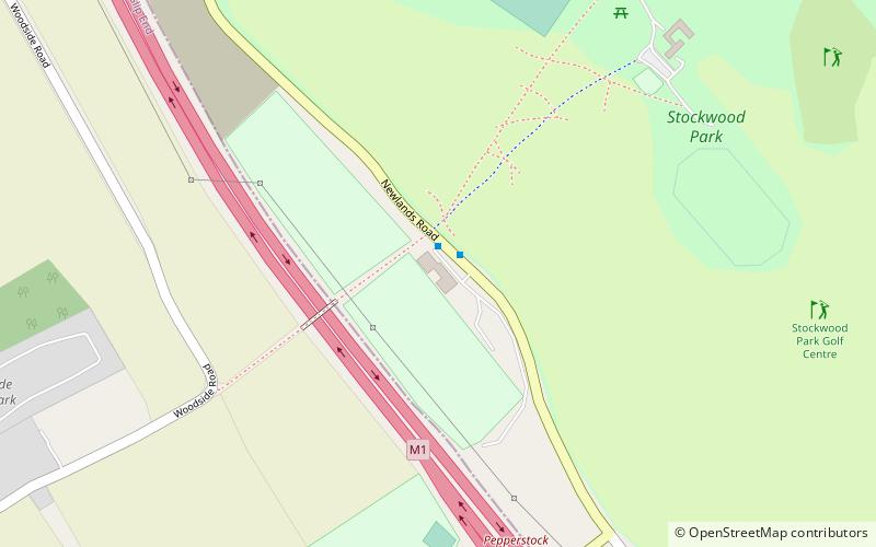
Luton Rugby Football Club are a Bedfordshire-based English rugby union team who currently play their rugby in London 2 North West following their relegation from London 1 North at the end of the 2018–19 season. Their ground is located by the M1 motorway just outside Stockwood Park and is called Newlands Road. ()
Founded: 1930 (96 years ago)Coordinates: 51°51'43"N, 0°25'47"W
Getting there by public transportation
Public transportation stops near this location
- Bus
 Bus
Bus
- Calculate routeNewlands Road 26 min walk
- Calculate routeLuton Hoo Hotel 33 min walk
- Calculate routePark Square 34 min walk
- Calculate routeChurch Street 36 min walk
Day trips


Frequently Asked Questions (FAQ)
Which popular attractions are close to Luton Rugby Club?
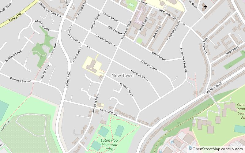
Nearby attractions include Stockwood Park, Luton (7 min walk), Mossman Collection, Luton (11 min walk), Stockwood Discovery Centre, Luton (11 min walk), New Town, Luton (23 min walk).
How to get to Luton Rugby Club by public transport?
The nearest stations to Luton Rugby Club:
Bus
Bus
- Newlands Road • Lines: 610 (26 min walk)
- Luton Hoo Hotel • Lines: 610 (33 min walk)