Kintbury Lock, Kintbury

Gallery (1)
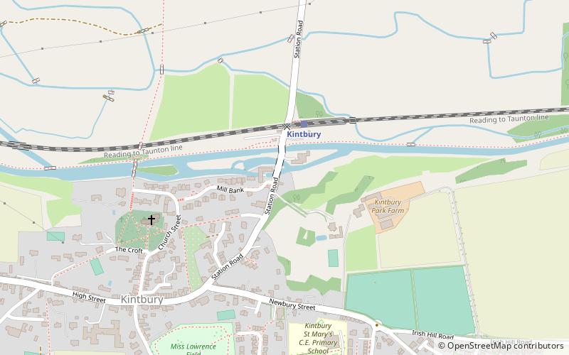
Map
Map
Facts and practical information
Kintbury Lock is a lock on the Kennet and Avon Canal, at Kintbury, Berkshire, England. ()
Coordinates: 51°24'6"N, 1°26'47"W
Getting there by public transportation
Public transportation stops near this location
- Train
 Train
Train
- Calculate routeKintbury 2 min walk
Day trips


Frequently Asked Questions (FAQ)
How to get to Kintbury Lock by public transport?
The nearest stations to Kintbury Lock:
Train
Train
- Kintbury (2 min walk)