Ty Mawr Country Park
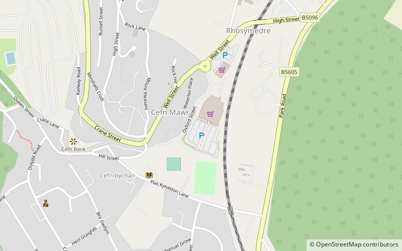
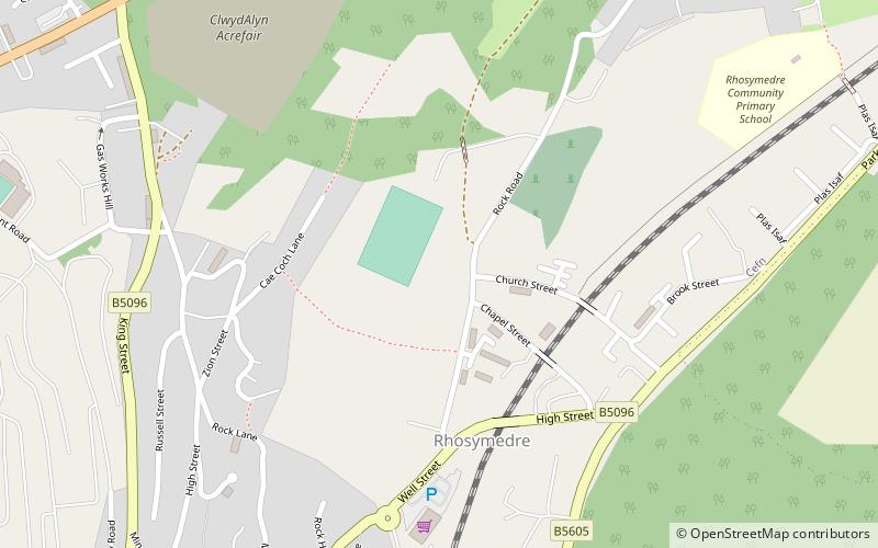
Map
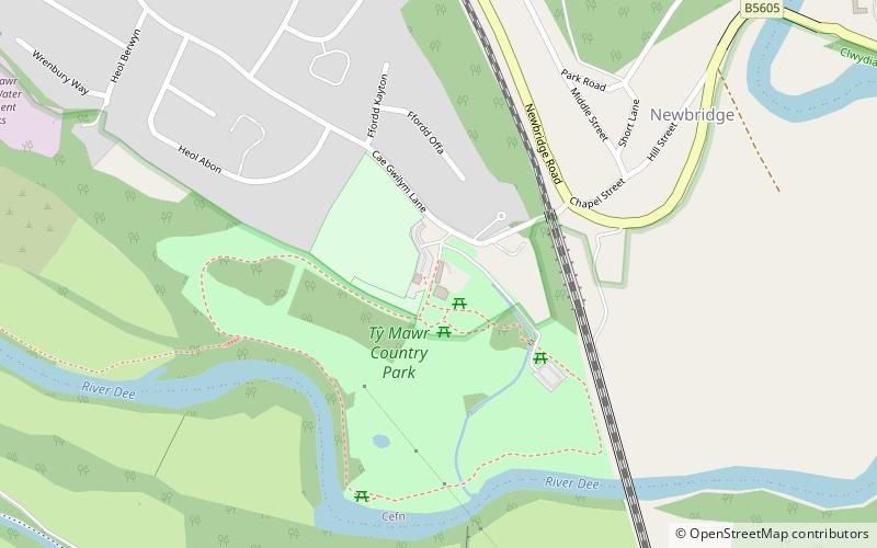
Map

Facts and practical information
Ty Mawr Country Park is a place located in the United Kingdom and belongs to the category of park, relax in park.
It is situated at an altitude of 276 feet, and its geographical coordinates are 52°57'56"N latitude and 3°4'8"W longitude.
Among other places and attractions worth visiting in the area are: Plaskynaston LaneWrexham (sport, 13 min walk), The Rock StadiumWrexham (sport, 21 min walk), Pontcysyllte AqueductLlangollen (unesco, 22 min walk).
Elevation: 276 ft a.s.l.Coordinates: 52°57'56"N, 3°4'8"W
Location
Wales
ContactAdd
Social media
Add
Day trips
Ty Mawr Country Park – popular in the area (distance from the attraction)
Nearby attractions include: Pontcysyllte Aqueduct, Trevor Basin, Pont Cysylltau, Plaskynaston Lane.
