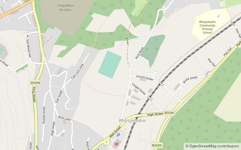
The Rock Stadium, Wrexham
Map
Facts and practical information
The Rock, Rhosymedre, near Wrexham, Wales is the current home stadium for Welsh Premier League team Cefn Druids. ()
Capacity: 3000Coordinates: 52°58'38"N, 3°4'11"W
Address
Wrexham
ContactAdd
Social media
Add
Getting there by public transportation
Public transportation stops near this location
- Train
 Train
Train
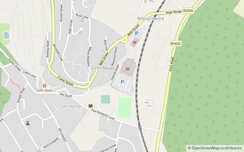
- Calculate routeRuabon 33 min walk
Day trips


Frequently Asked Questions (FAQ)
How to get to The Rock Stadium by public transport?
The nearest stations to The Rock Stadium:
Train
Train
- Ruabon (33 min walk)