Pont Cysylltau
Map
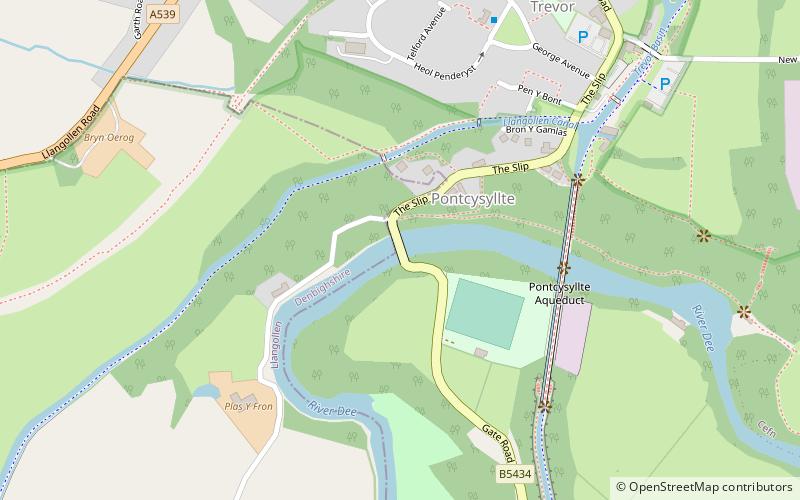
Map

Facts and practical information
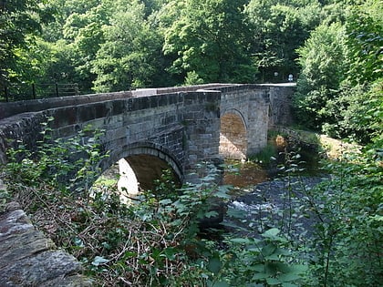
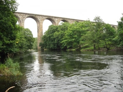
Pont Cysyllte, also known as Cysylltau Bridge or Bont Bridge, is a 17th-century road bridge crossing the River Dee near the village of Trevor, Wrexham County Borough, Wales. It lies 200 m west of Thomas Telford's Pontcysyllte Aqueduct and, carrying the B5434 road, is the main connection between Trevor and nearby Froncysyllte. ()
Coordinates: 52°58'15"N, 3°5'29"W
Location
Wales
ContactAdd
Social media
Add
Day trips
Pont Cysylltau – popular in the area (distance from the attraction)
Nearby attractions include: Pontcysyllte Aqueduct, Trevor Basin, Ty Mawr Country Park, Plaskynaston Lane.
