Haughmond Hill
Map

Map

Facts and practical information
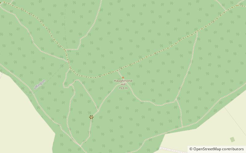
Haughmond Hill is a small, shallow hill in the English county of Shropshire. It is covered by woodland for the most part, although there is an open cast quarry in use. Its proximity to the town of Shrewsbury has meant that it has become something of a forest park, with guided paths, car parking and picnic areas maintained in places. The rocky summit overlooks countryside and Shrewsbury itself. ()
Elevation: 502 ftProminence: 279 ftCoordinates: 52°43'0"N, 2°40'41"W
Location
England
ContactAdd
Social media
Add
Day trips
Haughmond Hill – popular in the area (distance from the attraction)
Nearby attractions include: Darwin Shopping Centre, Attingham Park, Shrewsbury Driving Range, English Bridge.


