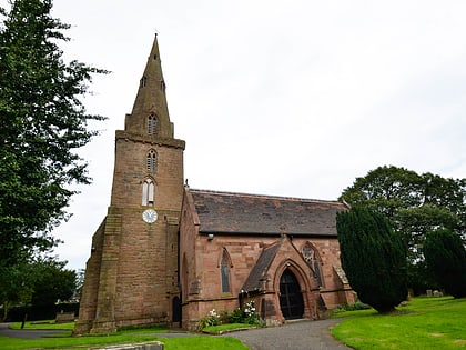
All Saints Church, Coventry
Map
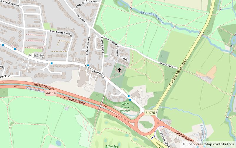
Map

Facts and practical information
All Saints Church is a mediaeval church in the suburban village of Allesley adjoining the City of Coventry, in the West Midlands of England. The building is grade I listed, though churches in ecclesiastical use are exempt from listed building procedures. ()
Completed: XIII centuryCoordinates: 52°25'22"N, 1°33'27"W
Address
Rectory LnNorth West Coventry (Bablake)Coventry CV5 9EQ
Contact
+44 24 7640 2006
Social media
Add
Day trips
All Saints Church – popular in the area (distance from the attraction)
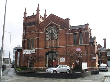
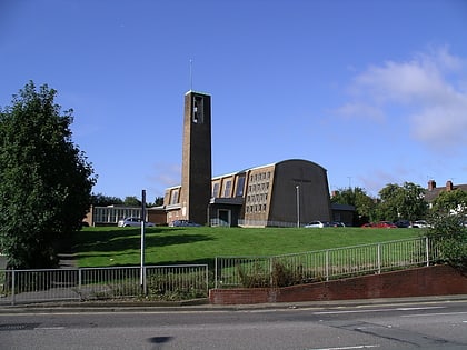
Nearby attractions include: Butts Park Arena, SkyDome Arena, Coventry Transport Museum, St John the Baptist Church.
Frequently Asked Questions (FAQ)
Which popular attractions are close to All Saints Church?
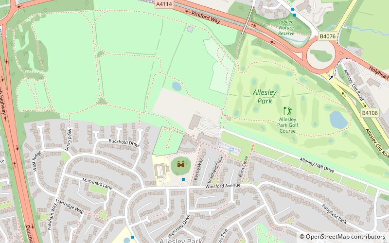
Nearby attractions include Allesley Park, Coventry (8 min walk), Allesley Castle, Coventry (9 min walk).
How to get to All Saints Church by public transport?
The nearest stations to All Saints Church:
Bus
Bus
- Birmingham Rd / Norton Grange • Lines: 7, X1, X20 (3 min walk)
- Holyhead Rd / Dulverton Avenue • Lines: 7, X1, X20 (9 min walk)
