Allesley Park, Coventry
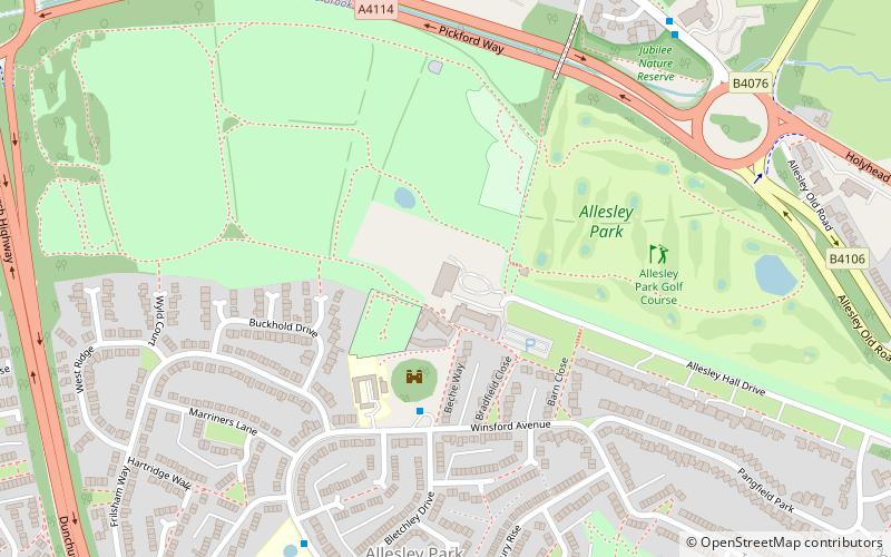
Map
Facts and practical information
Allesley Park is a park near Coventry, West Midlands, England. It is also the name of the residential suburb adjacent to the park, which is approximately 2.5 miles northwest of Coventry city centre, just east of the A45 Coventry bypass. ()
Elevation: 377 ft a.s.l.Coordinates: 52°25'8"N, 1°33'40"W
Address
North West Coventry (Whoberley)Coventry
ContactAdd
Social media
Add
Getting there by public transportation
Public transportation stops near this location
- Bus
 Bus
Bus
- Calculate routeWinsford Ave / The Chilterns 3 min walk
- Calculate routeBirmingham Rd / Norton Grange 7 min walk
Day trips


Frequently Asked Questions (FAQ)
Which popular attractions are close to Allesley Park?
Nearby attractions include All Saints Church, Coventry (8 min walk), Allesley Castle, Coventry (11 min walk).
How to get to Allesley Park by public transport?
The nearest stations to Allesley Park:
Bus
Bus
- Winsford Ave / The Chilterns • Lines: 8 (3 min walk)
- Birmingham Rd / Norton Grange • Lines: 7, X1, X20 (7 min walk)